|
search place name
|
||
Cypress Creek (Maryland, United States - USA)Cypress Creek is a town in the Maryland region of United States - USA. An overview map of the region around Cypress Creek is displayed below.
regional and 3d topo map of Cypress Creek, United States - USA ::

Cypress Creek airports ::
The nearest airport is BWI - Baltimore Washington Intl, located 16.6 km north west of Cypress Creek.
Other airports nearby include ADW - Camp Springs Andrews Afb (Washington Dc Naf) (41.3 km south west), DCA - Ronald Reagan Washington Natl (50.5 km south west), APG - Aberdeen Phillips Aaf (53.6 km north east), IAD - Washington Dulles Intl (81.6 km west), Nearby towns ::
Oak Grove (0.5km south) //
Longmeadow North (0.4km west) //
Longmeadow (0.6km south west) //
Cape McKinsey (0.6km north east) //
Smugglers Cove (0.7km north) //
North Cape Arthur (0.8km north) //
Cape Arthur (0.8km north) //
Manhattan Manor (0.8km south) //
Dunkeld Manor (0.7km west) //
Manhattan Beach (0.8km south east) //
Crystal Beach (0.8km east) //
Pohlman Point (0.9km north east) //
Whitehurst (1.1km north) //
Arundel Beach (1.0km north east) //
Windrush Farm (1.2km south) //
McKinsey Park (1.1km west) //
Trinity Farms (1.0km west) //
Oak Landing (1.4km north) //
Oakleigh Forest (1.2km north west) //
Allenville (1.4km south) //
Fairoaks (1.5km north) //
Round Bay (1.4km south west) //
Harting Estates (1.5km south east) //
Magothy Estates (1.5km south east) //
Jones (1.8km south) //
Cresston Park (1.8km south east) //
Severna Park (1.5km west) //
Old County Estates (1.9km south) //
Tebbston (1.8km north east) //
[all distances 'as the bird flies' and approximate] 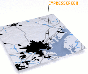 Places with similar names to Cypress Creek, United States - USA ::
// Cypress Creek (US)
// Cypress Creek (US)
// Cypress Creek (US)
// Cypress Creek (US)
// Cypress Creek (US)
// Cypress Creek (US)
// Spears Creek (US)
// Cypress Creek (US)
// Spruce Creek (US)
Disclaimer :: Information on this page comes without warranty of any kind |
||
|
Where is Cypress Creek? Elevation and coordinates ::
Latitude (lat): 39°4'21"N Longitude (lon): 76°31'42"W
Elevation (approx.): 10m (map arrows pan, magnifying glasses zoom) |
||
|
Visiting Cypress Creek? Hotel/Accommodation ::
Book a hotel in Cypress Creek Travel Guide ::
rental cars ::
car rental offers GPS waypoint ::
download a GPX waypoint (PoI) of Cypress Creek for your GPS receiver
|
||