|
search place name
|
||
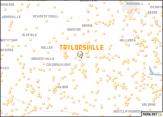
Taylorsville (Maryland, United States - USA)Taylorsville is a town in the Maryland region of United States - USA. An overview map of the region around Taylorsville is displayed below.
regional and 3d topo map of Taylorsville, United States - USA ::
Taylorsville airports ::
The nearest airport is BWI - Baltimore Washington Intl, located 47.8 km south east of Taylorsville.
Other airports nearby include IAD - Washington Dulles Intl (65.3 km south west), DCA - Ronald Reagan Washington Natl (67.4 km south), ADW - Camp Springs Andrews Afb (Washington Dc Naf) (74.3 km south), APG - Aberdeen Phillips Aaf (79.0 km east), Nearby towns ::
Dotsons Ridge (0.5km south west) //
Gasnell Estates (1.3km south) //
Franklinville (1.1km west) //
Sun Valley Farms (1.1km north east) //
Braddock Estates (1.6km south) //
Sun Valley (1.3km east) //
Dulany Hills (1.6km north east) //
Villa Tomarchio (1.8km north) //
Stoney Ridge (1.8km north east) //
New Horizons (2.0km south west) //
Valley Hill Farms (2.5km south) //
Belmar Estates (2.4km south west) //
Woodbridge (2.4km north east) //
McHenry Meadows (2.7km south) //
Timbermead (2.9km south) //
Poignant Acres (2.7km north east) //
Fleming Way Estates (3.1km south) //
Covers Corner (2.5km west) //
Mountain Vista (2.9km south west) //
Winfield Heights (2.6km east) //
Stanton Heights (3.4km north) //
Glenvue Acres (3.5km north) //
Cumorah Estates (3.6km south) //
Raydan Retreat (3.0km south east) //
Winfield (3.0km south east) //
Fischer (2.9km west) //
Ritter (2.9km west) //
Timber Ridge (3.5km south west) //
Buffalo Hills (3.1km west) //
[all distances 'as the bird flies' and approximate]  Places with similar names to Taylorsville, United States - USA ::
// Taylorsville (US)
// Taylorsville (US)
// Taylorsville (US)
// Taylorsville (US)
// Taylorsville (US)
// Taylorsville (US)
// Taylorsville (US)
// Tylersville (US)
// Taylorsville (US)
// Tolarsville (US)
Disclaimer :: Information on this page comes without warranty of any kind |
||
|
Where is Taylorsville? Elevation and coordinates ::
Latitude (lat): 39°27'28"N Longitude (lon): 77°5'13"W
Elevation (approx.): 248m (map arrows pan, magnifying glasses zoom) |
||
|
Visiting Taylorsville? Hotel/Accommodation ::
Book a hotel in Taylorsville Travel Guide ::
rental cars ::
car rental offers GPS waypoint ::
download a GPX waypoint (PoI) of Taylorsville for your GPS receiver
|
||