|
search place name
|
||
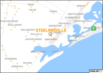
Steelmanville (New Jersey, United States - USA)Steelmanville is a town in the New Jersey region of United States - USA. An overview map of the region around Steelmanville is displayed below.
regional and 3d topo map of Steelmanville, United States - USA ::
Steelmanville airports ::
The nearest airport is ACY - Atlantic City Intl, located 13.8 km north of Steelmanville.
Other airports nearby include MIV - Millville Muni (41.3 km west), WWD - Wildwood Cape May Co (45.2 km south west), WRI - Wrightstown Mc Guire Afb (75.7 km north), DOV - Dover Afb (78.6 km west), Nearby towns ::
Ocean Heights (0.8km south east) //
Somers Point (1.9km south) //
Linwood (1.8km east) //
Bargaintown (3.4km north) //
Scullville (4.2km west) //
Morris Beach (4.6km south west) //
Northfield (5.5km north east) //
Jeffers Landing (5.3km west) //
Ocean City (6.5km south) //
Beesleys Point (7.3km south west) //
Longport (6.4km east) //
Cardiff (8.5km north) //
English Creek (6.8km west) //
Marmora (8.7km south west) //
Pleasantville (8.6km north east) //
[all distances 'as the bird flies' and approximate] 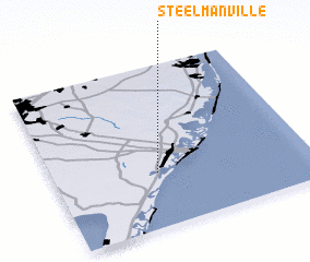 Places with similar names to Steelmanville, United States - USA ::
// Stillman Valley (US)
// Stillmanville (US)
Disclaimer :: Information on this page comes without warranty of any kind |
||
|
Where is Steelmanville? Elevation and coordinates ::
Latitude (lat): 39°20'3"N Longitude (lon): 74°35'41"W
Elevation (approx.): 5m (map arrows pan, magnifying glasses zoom) |
||
|
Visiting Steelmanville? Hotel/Accommodation ::
Book a hotel in Steelmanville Travel Guide ::
rental cars ::
car rental offers GPS waypoint ::
download a GPX waypoint (PoI) of Steelmanville for your GPS receiver
|
||