|
search place name
|
||
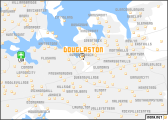
Douglaston (New York, United States - USA)Douglaston is a town in the New York region of United States - USA. An overview map of the region around Douglaston is displayed below.
regional and 3d topo map of Douglaston, United States - USA ::
Douglaston airports ::
The nearest airport is LGA - New York La Guardia, located 10.6 km west of Douglaston.
Other airports nearby include JFK - New York John F Kennedy Intl (14.6 km south), TEB - Teterboro (27.9 km west), HPN - White Plains Westchester Co (33.3 km north), EWR - Newark Liberty Intl (36.6 km west), Nearby towns ::
Parsons Beach (0.5km north west) //
Little Neck (1.1km south east) //
Great Neck Estates (2.2km north east) //
East Atlantic Beach (2.3km north) //
Harbor Hills (2.5km north) //
Oakland Gardens (2.3km south west) //
Saddle Rock Estates (2.8km north) //
Saddle Rock (2.8km north) //
Russell Gardens (2.3km north east) //
University Gardens (2.3km north east) //
Great Neck Plaza (2.7km north east) //
Lake Success (2.5km east) //
Bayside (2.5km west) //
Kensington (3.5km north east) //
Great Neck (3.9km north east) //
Thomaston (3.4km north east) //
East Garden City (3.8km north east) //
Glen Oaks (3.8km south east) //
Queens Village (4.7km south) //
Terrace Heights (5.6km south) //
Bellerose Terrace (5.6km south) //
Kings Point (5.8km north) //
Plandome Heights (5.2km north east) //
Bellerose (5.6km south east) //
Bellaire (6.1km south) //
Manhasset (5.1km north east) //
Utopia (5.7km south west) //
Fresh Meadows (5.4km south west) //
Plandome (5.6km north east) //
[all distances 'as the bird flies' and approximate] 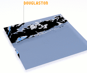 Places with similar names to Douglaston, United States - USA ::
Disclaimer :: Information on this page comes without warranty of any kind |
||
|
Where is Douglaston? Elevation and coordinates ::
Latitude (lat): 40°46'7"N Longitude (lon): 73°44'51"W
Elevation (approx.): 17m (map arrows pan, magnifying glasses zoom) |
||
|
Visiting Douglaston? Hotel/Accommodation ::
Book a hotel in Douglaston Travel Guide ::
rental cars ::
car rental offers GPS waypoint ::
download a GPX waypoint (PoI) of Douglaston for your GPS receiver
|
||