|
search place name
|
||
Summit Hill (New York, United States - USA)Summit Hill is a town in the New York region of United States - USA. An overview map of the region around Summit Hill is displayed below.
regional and 3d topo map of Summit Hill, United States - USA ::

Summit Hill airports ::
The nearest airport is SYR - Syracuse Hancock Intl, located 117.9 km north of Summit Hill.
Other airports nearby include IPT - Williamsport Rgnl (123.4 km south west), SWF - Newburgh Stewart Intl (162.7 km east), ROC - Greater Rochester Intl (186.1 km north west), MUI - Muir Aaf (188.5 km south), Nearby towns ::
Park Terrace (1.2km north) //
Binghamton (4.4km north) //
Hawleyton (4.5km south) //
Conklin Forks (6.3km south east) //
Brackney (7.7km south) //
Johnson City (7.2km north west) //
Popes Ravine (7.6km north east) //
Port Dickinson (8.4km north) //
Westover (8.0km north west) //
Willow Point (7.8km north west) //
[all distances 'as the bird flies' and approximate] 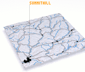 Places with similar names to Summit Hill, United States - USA ::
// Smith Hill (US)
// Smith Hill (US)
// Smith Hill (US)
// Summit Hill (US)
// Summithill (US)
// Smith-Lee (US)
// Summit Hill (US)
// Smith Hill (US)
// Smith Hill (US)
// Xóm Tha La (VN)
Disclaimer :: Information on this page comes without warranty of any kind |
||
|
Where is Summit Hill? Elevation and coordinates ::
Latitude (lat): 42°3'32"N Longitude (lon): 75°54'59"W
Elevation (approx.): 492m (map arrows pan, magnifying glasses zoom) |
||
|
Visiting Summit Hill? Hotel/Accommodation ::
Book a hotel in Summit Hill Travel Guide ::
rental cars ::
car rental offers GPS waypoint ::
download a GPX waypoint (PoI) of Summit Hill for your GPS receiver
|
||