|
search place name
|
||
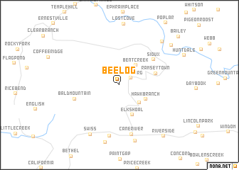
Bee Log (North Carolina, United States - USA)Bee Log is a town in the North Carolina region of United States - USA. An overview map of the region around Bee Log is displayed below.
regional and 3d topo map of Bee Log, United States - USA ::
Bee Log airports ::
The nearest airport is HKY - Hickory Rgnl, located 95.9 km east of Bee Log.
Other airports nearby include TYS - Knoxville Mc Ghee Tyson (144.4 km west), CLT - Charlotte Douglas Intl (157.9 km south east), AND - Andersen Anderson Rgnl (167.5 km south), Nearby towns ::
Lewisburg (1.8km north east) //
Bent Creek (3.7km north east) //
Higgins (3.8km south east) //
Hawk Branch (4.1km south east) //
Elk Shoal (5.0km south) //
Ramseytown (5.0km east) //
Sioux (5.9km north east) //
Bald Mountain (6.1km west) //
Cane River (7.9km south) //
Bald Creek (8.2km south) //
Swiss (8.6km south west) //
Cane (9.1km south) //
Whiteoak Flats (8.7km north east) //
Peterson (9.1km north east) //
Riverside (9.8km south east) //
[all distances 'as the bird flies' and approximate] 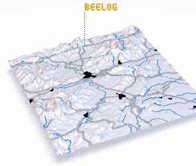 Places with similar names to Bee Log, United States - USA ::
Disclaimer :: Information on this page comes without warranty of any kind |
||
|
Where is Bee Log? Elevation and coordinates ::
Latitude (lat): 35°59'4"N Longitude (lon): 82°24'32"W
Elevation (approx.): 742m (map arrows pan, magnifying glasses zoom) |
||
|
Visiting Bee Log? Hotel/Accommodation ::
Book a hotel in Bee Log Travel Guide ::
rental cars ::
car rental offers GPS waypoint ::
download a GPX waypoint (PoI) of Bee Log for your GPS receiver
|
||