|
search place name
|
||
Curry (Pennsylvania, United States - USA)Curry is a town in the Pennsylvania region of United States - USA. An overview map of the region around Curry is displayed below.
regional and 3d topo map of Curry, United States - USA ::

Curry airports ::
The nearest airport is PIT - Pittsburgh (pennsylva) Pittsburgh Intl, located 27.4 km north west of Curry.
Other airports nearby include YNG - Youngstown Warren Rgnl (118.6 km north west), AOO - Altoona Blair Co (141.6 km east), AKR - Akron Fulton Intl (147.7 km north west), EKN - Elkins Randolph Co Jennings Randolph (160.5 km south), Nearby towns ::
Broughton (0.7km south) //
Horning (0.8km north west) //
Baldwin (0.9km north east) //
Bruceton (1.6km south) //
Option (1.9km north east) //
Experiment (2.7km south) //
Surgeon Hall (2.4km north east) //
Pleasant Hills (2.2km east) //
Salida (2.5km north west) //
Whitehall (3.3km north) //
Willock (3.0km north east) //
Longview (3.0km north west) //
Mifflin Junction (3.4km north east) //
Brentwood (4.4km north) //
Gill Hall (4.2km south east) //
Piney Fork (4.8km south) //
Mollenauer (4.1km north west) //
Linden Grove (4.6km north west) //
Washington Junction (4.2km north west) //
Cochrans Mill (4.9km south east) //
Boyer (4.2km south west) //
Brightwood (4.1km west) //
Library (5.1km south west) //
Castle Shannon (4.8km north west) //
Hillcrest (4.4km north west) //
Coverdale (4.4km west) //
Overbrook (5.9km north) //
Bethel Park (4.6km west) //
West Library (5.4km south west) //
[all distances 'as the bird flies' and approximate] 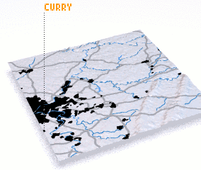 Places with similar names to Curry, United States - USA ::
Disclaimer :: Information on this page comes without warranty of any kind |
||
|
Where is Curry? Elevation and coordinates ::
Latitude (lat): 40°19'55"N Longitude (lon): 79°59'9"W
Elevation (approx.): 306m (map arrows pan, magnifying glasses zoom) |
||
|
Visiting Curry? Hotel/Accommodation ::
Book a hotel in Curry Travel Guide ::
rental cars ::
car rental offers GPS waypoint ::
download a GPX waypoint (PoI) of Curry for your GPS receiver
|
||