|
search place name
|
||
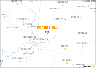
Forest Mill (Tennessee, United States - USA)Forest Mill is a town in the Tennessee region of United States - USA. An overview map of the region around Forest Mill is displayed below.
regional and 3d topo map of Forest Mill, United States - USA ::
Forest Mill airports ::
The nearest airport is BNA - Nashville Intl, located 89.0 km north west of Forest Mill.
Other airports nearby include CHA - Chattanooga Lovell Fld (92.7 km south east), HUA - Redstone Aaf (110.1 km south west), HOP - Hopkinsville Campbell Aaf (183.4 km north west), ANB - Anniston Metro (214.5 km south), Nearby towns ::
Ragsdale (2.5km south east) //
Westwood Homes (3.9km south west) //
New Union (4.4km north west) //
West Meade (5.9km south west) //
Glenview (5.8km south west) //
White Oaks (6.5km south) //
Manchester (6.0km south west) //
Summitville (6.3km north east) //
Shady Acres (6.7km south west) //
Melrose Park (6.2km west) //
Fredonia (6.9km north west) //
Westwood (7.4km south west) //
Asbury (7.9km south east) //
Royal Oaks (8.6km south west) //
Mud Creek (9.1km north) //
Hillcrest (9.8km south west) //
[all distances 'as the bird flies' and approximate] 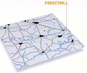 Places with similar names to Forest Mill, United States - USA ::
// Forstmühle (DE)
// Forest Mill (US)
// Frassi di Mele (IT)
// Frost Mill (US)
// Forest Mill (GB)
Disclaimer :: Information on this page comes without warranty of any kind |
||
|
Where is Forest Mill? Elevation and coordinates ::
Latitude (lat): 35°30'57"N Longitude (lon): 86°2'13"W
Elevation (approx.): 346m (map arrows pan, magnifying glasses zoom) |
||
|
Visiting Forest Mill? Hotel/Accommodation ::
Book a hotel in Forest Mill Travel Guide ::
rental cars ::
car rental offers GPS waypoint ::
download a GPX waypoint (PoI) of Forest Mill for your GPS receiver
|
||