|
search place name
|
||
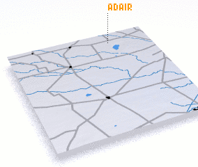
Adair (Texas, United States - USA)Adair is a town in the Texas region of United States - USA. An overview map of the region around Adair is displayed below.
regional and 3d topo map of Adair, United States - USA ::

Adair airports ::
The nearest airport is LBB - Lubbock Preston Smith Intl, located 87.5 km north east of Adair.
Other airports nearby include MAF - Midland Intl (113.2 km south), INK - Winkler Co (158.6 km south west), CVS - Clovis Cannon Afb (186.0 km north west), SJT - San Angelo Rgnl Mathis Fld (243.2 km south east), Nearby towns ::
 Places with similar names to Adair, United States - USA ::
Disclaimer :: Information on this page comes without warranty of any kind |
||
|
Where is Adair? Elevation and coordinates ::
Latitude (lat): 32°57'46"N Longitude (lon): 102°15'15"W
Elevation (approx.): 981m (map arrows pan, magnifying glasses zoom) |
||
|
Visiting Adair? Hotel/Accommodation ::
Book a hotel in Adair Travel Guide ::
rental cars ::
car rental offers GPS waypoint ::
download a GPX waypoint (PoI) of Adair for your GPS receiver
|
||