|
search place name
|
||
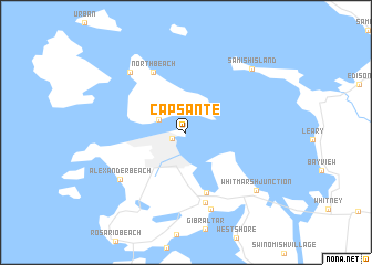
Cap Sante (Washington, United States - USA)Cap Sante is a town in the Washington region of United States - USA. An overview map of the region around Cap Sante is displayed below.
regional and 3d topo map of Cap Sante, United States - USA ::
Cap Sante airports ::
The nearest airport is BLI - Bellingham Intl, located 30.9 km north of Cap Sante.
Other airports nearby include YXX - Abbotsford (59.0 km north), YYJ - Victoria Intl (62.6 km west), PAE - Everett Snohomish Co (72.0 km south), YCW - Chilliwack (85.6 km north east), Nearby towns ::
Anacortes (1.1km south west) //
Guemes (2.2km north west) //
Sharpes Corner (6.2km south) //
North Beach (6.4km north) //
Howards Corner (7.2km south) //
Alexander Beach (6.5km south west) //
Similk Beach (8.0km south) //
Indian Village (7.1km north west) //
Whitmarsh Junction (7.5km south east) //
Samish Island (7.8km north east) //
[all distances 'as the bird flies' and approximate] 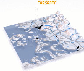 Places with similar names to Cap Sante, United States - USA ::
Disclaimer :: Information on this page comes without warranty of any kind |
||
|
Where is Cap Sante? Elevation and coordinates ::
Latitude (lat): 48°31'6"N Longitude (lon): 122°35'57"W
Elevation (approx.): 7m (map arrows pan, magnifying glasses zoom) |
||
|
Visiting Cap Sante? Hotel/Accommodation ::
Book a hotel in Cap Sante Travel Guide ::
rental cars ::
car rental offers GPS waypoint ::
download a GPX waypoint (PoI) of Cap Sante for your GPS receiver
|
||