|
search place name
|
||
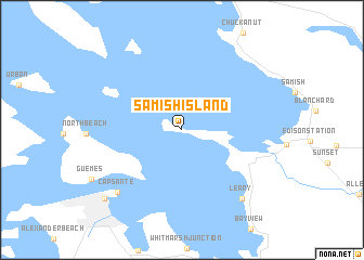
Samish Island (Washington, United States - USA)Samish Island is a town in the Washington region of United States - USA. An overview map of the region around Samish Island is displayed below.
regional and 3d topo map of Samish Island, United States - USA ::
Samish Island airports ::
The nearest airport is BLI - Bellingham Intl, located 24.1 km north of Samish Island.
Other airports nearby include YXX - Abbotsford (51.7 km north), YYJ - Victoria Intl (65.8 km west), PAE - Everett Snohomish Co (76.9 km south), YCW - Chilliwack (77.8 km north east), Nearby towns ::
 Places with similar names to Samish Island, United States - USA :: Disclaimer :: Information on this page comes without warranty of any kind |
||
|
Where is Samish Island? Elevation and coordinates ::
Latitude (lat): 48°34'34"N Longitude (lon): 122°32'23"W
Elevation (approx.): 8m (map arrows pan, magnifying glasses zoom) |
||
|
Visiting Samish Island? Hotel/Accommodation ::
Book a hotel in Samish Island Travel Guide ::
rental cars ::
car rental offers GPS waypoint ::
download a GPX waypoint (PoI) of Samish Island for your GPS receiver
|
||