|
search place name
|
||
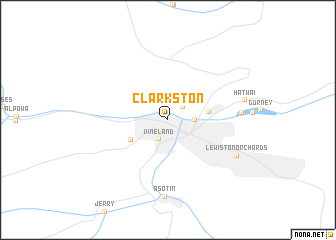
Clarkston (Washington, United States - USA)Clarkston is a town in the Washington region of United States - USA. An overview map of the region around Clarkston is displayed below.
regional and 3d topo map of Clarkston, United States - USA ::
Clarkston airports ::
The nearest airport is GEG - Spokane Intl, located 138.9 km north of Clarkston.
Other airports nearby include SKA - Spokane Fairchild Afb (141.1 km north), SFF - Spokane Felts Fld (142.4 km north), Nearby towns ::
Transfer (1.8km north east) //
Vineland (2.2km south) //
Lewiston (2.1km east) //
North Lewiston (3.3km east) //
Clarkston Heights (3.6km south west) //
Valley View Heights (5.8km east) //
Asotin (8.6km south) //
Lewiston Orchards (6.7km south east) //
Hatwai (6.3km east) //
[all distances 'as the bird flies' and approximate] 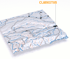 Places with similar names to Clarkston, United States - USA ::
// Clarkston (US)
// Clarkston (US)
// Clarkston (US)
// Clarkstown (US)
// Clarkstown (US)
// Clarkston (US)
// Galera Costeña (MX)
// Clarks Town (JM)
// Clarks Town (JM)
// Clarks Town (JM)
Disclaimer :: Information on this page comes without warranty of any kind |
||
|
Where is Clarkston? Elevation and coordinates ::
Latitude (lat): 46°24'59"N Longitude (lon): 117°2'39"W
Elevation (approx.): 246m (map arrows pan, magnifying glasses zoom) |
||
|
Visiting Clarkston? Hotel/Accommodation ::
Book a hotel in Clarkston Travel Guide ::
rental cars ::
car rental offers GPS waypoint ::
download a GPX waypoint (PoI) of Clarkston for your GPS receiver
|
||