|
search place name
|
||
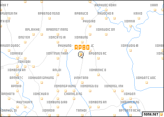
Ấp Bố (Sông Bé, Vietnam)Ấp Bố is a town in the Sông Bé region of Vietnam. An overview map of the region around Ấp Bố is displayed below.
regional and 3d topo map of Ấp Bố, Vietnam ::
Ấp Bố airports ::
The nearest airport is SGN - Ho Chi Minh City Tansonnhat Intl, located 37.3 km south of Ấp Bố.
Other airports nearby include PNH - Phnom-penh Phnom Penh Intl (209.1 km west), Nearby towns ::
Mỹ Ðưc (2.6km north east) //
Ấp Ðồng Sạc (3.6km east) //
Xóm Bưng (3.7km north) //
Phú Hưng (4.1km north west) //
Xóm Bình Co (5.2km south east) //
Vĩnh Tân (1) (5.6km south) //
Xóm Trùm Tháp (5.5km west) //
Xóm Ðồn (5.5km west) //
Ấp Bồ Lá (5.8km north) //
Xóm Cây Gia (6.6km north west) //
An Lợi (6.6km south west) //
Phu Giáo (7.6km north) //
Xóm Ông Ðều (7.6km south) //
Phú Trung (7.6km south) //
Xóm Suối Con (7.8km north east) //
Ấp Bông Trang (7.8km north west) //
Xóm Ông Phùng (8.3km south west) //
Xóm Mang (9.2km south west) //
Hòa Lợi (1) (9.2km south west) //
Xom Ông Linh (10.4km south east) //
[all distances 'as the bird flies' and approximate] 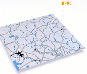 Places with similar names to Ấp Bố, Vietnam ::
Disclaimer :: Information on this page comes without warranty of any kind |
||
|
Where is Ấp Bố? Elevation and coordinates ::
Latitude (lat): 11°9'0"N Longitude (lon): 106°43'0"E
Elevation (approx.): 45m (map arrows pan, magnifying glasses zoom) |
||
|
Visiting Ấp Bố? Hotel/Accommodation ::
Book a hotel in Ấp Bố Travel Guide ::
Buy a travel guide for Vietnam rental cars ::
car rental offers GPS waypoint ::
download a GPX waypoint (PoI) of Ấp Bố for your GPS receiver
|
||