|
search place name
|
||
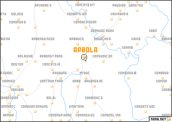
Ấp Bồ Lá (Sông Bé, Vietnam)Ấp Bồ Lá is a town in the Sông Bé region of Vietnam. An overview map of the region around Ấp Bồ Lá is displayed below.
regional and 3d topo map of Ấp Bồ Lá, Vietnam ::
Ấp Bồ Lá airports ::
The nearest airport is SGN - Ho Chi Minh City Tansonnhat Intl, located 43.1 km south of Ấp Bồ Lá.
Other airports nearby include PNH - Phnom-penh Phnom Penh Intl (209.7 km west), Nearby towns ::
Phu Giáo (1.9km north) //
Xóm Bưng (2.6km south west) //
Mỹ Ðưc (3.7km south) //
Xóm Suối Con (3.6km east) //
Ấp Bàu Cỏ (4.1km north west) //
Phước Hòa (5.2km north east) //
Ấp Bố (5.8km south) //
Ấp Ðồng Sạc (5.8km south) //
Phú Hưng (6.6km south west) //
Khước Giai (6.6km north east) //
Ấp Phước Hòa II (6.6km north east) //
Ấp Bông Trang (7.3km west) //
Xóm Rạch Ngan (7.4km north) //
Xóm Cây Gia (7.5km west) //
Xóm Ðồn (9.2km south west) //
Xóm Trùm Tháp (9.2km south west) //
[all distances 'as the bird flies' and approximate] 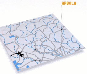 Places with similar names to Ấp Bồ Lá, Vietnam ::
// Ấp Bời Lời (VN)
Disclaimer :: Information on this page comes without warranty of any kind |
||
|
Where is Ấp Bồ Lá? Elevation and coordinates ::
Latitude (lat): 11°12'0"N Longitude (lon): 106°44'0"E
Elevation (approx.): 34m (map arrows pan, magnifying glasses zoom) |
||
|
Visiting Ấp Bồ Lá? Hotel/Accommodation ::
Book a hotel in Ấp Bồ Lá Travel Guide ::
Buy a travel guide for Vietnam rental cars ::
car rental offers GPS waypoint ::
download a GPX waypoint (PoI) of Ấp Bồ Lá for your GPS receiver
|
||