|
search place name
|
||
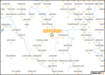
Ðóng Bươi (Vietnam)Ðóng Bươi is a town in Vietnam. An overview map of the region around Ðóng Bươi is displayed below.
regional and 3d topo map of Ðóng Bươi, Vietnam ::
Ðóng Bươi airports ::
The nearest airport is HAN - Hanoi Noibai Intl, located 63.5 km north of Ðóng Bươi.
Nearby towns ::
Làng Tien (0.0km north) //
Chợ Bến (1.9km north) //
Bá Lam (1.7km east) //
Cao Ðương (2.5km north east) //
Ha Moy (2.5km north east) //
Làng Gạo (2.5km south east) //
Thương Vệ (3.5km east) //
Làng Khi (3.7km north) //
Làng Mang (4.1km north west) //
Quen Thua (4.1km north west) //
Tchoue Cay (3.9km south west) //
Thành Lương (3.9km south west) //
Suối Dân (5.8km north) //
Cao Dương (5.8km north) //
Giáp Nôi (6.6km south east) //
Xóm Ngành (6.6km south east) //
Làng Moi (6.6km north west) //
Na Zuong (6.6km south west) //
Dồng Vãn (6.4km south east) //
Coum Tom (6.4km south west) //
Ðồng Em (7.4km north) //
Ðồng Chiêm (6.9km east) //
Làng Dai (7.4km south) //
Làng Sô (8.2km north west) //
Thượng Quất (7.9km north east) //
Phường Trên (7.9km north east) //
Cống Khê Sở (9.1km north east) //
Sào Dồng (9.1km south west) //
Ðại Mỗ (10.2km north west) //
[all distances 'as the bird flies' and approximate] 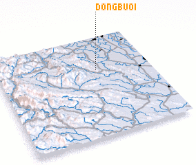 Places with similar names to Ðóng Bươi, Vietnam ::
Disclaimer :: Information on this page comes without warranty of any kind |
||
|
Where is Ðóng Bươi? Elevation and coordinates ::
Latitude (lat): 20°40'0"N Longitude (lon): 105°39'0"E
Elevation (approx.): 30m (map arrows pan, magnifying glasses zoom) |
||
|
Visiting Ðóng Bươi? Hotel/Accommodation ::
Book a hotel in Ðóng Bươi Travel Guide ::
Buy a travel guide for Vietnam rental cars ::
car rental offers GPS waypoint ::
download a GPX waypoint (PoI) of Ðóng Bươi for your GPS receiver
|
||