|
search place name
|
||
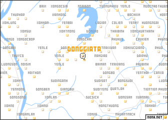
Ðồng Già Ta (Vietnam)Ðồng Già Ta is a town in Vietnam. An overview map of the region around Ðồng Già Ta is displayed below.
regional and 3d topo map of Ðồng Già Ta, Vietnam ::
Ðồng Già Ta airports ::
The nearest airport is HAN - Hanoi Noibai Intl, located 44.1 km north east of Ðồng Già Ta.
Nearby towns ::
Ðào Lãng (0.0km north) //
Ðồng Cò (1.9km north) //
Quang Riệu (1.7km west) //
Nam Giao (3.5km east) //
Ðồng Chai (3.7km north) //
Xóm Lát (3.5km west) //
Bãi Man (3.9km south east) //
Mèo Thôn (3.9km north east) //
Quần Thôn (3.9km north east) //
Ðồng Tói (3.9km north west) //
Dá Thâm (5.1km south east) //
Yên Lệ (5.2km west) //
Ðồng Mô (5.8km north) //
Phú Mãn (5.5km east) //
Yên Lệ (5.5km west) //
Trại Xuân (5.5km east) //
Cha Hương (5.5km west) //
Suối Sàt (6.5km south east) //
Ðồng Bộ (6.4km south east) //
Xóm Trông (6.5km north west) //
Trại Vang (7.2km east) //
Mỗ Sơn (7.6km south) //
Hòa Lạc (7.6km north east) //
Ðồng Vo (7.6km south east) //
Suối Nganh (7.6km south west) //
Suối Yêng (8.2km south east) //
Phu Hưu (7.9km north east) //
Giang Bui (8.2km south west) //
La Gian (8.2km north east) //
[all distances 'as the bird flies' and approximate] 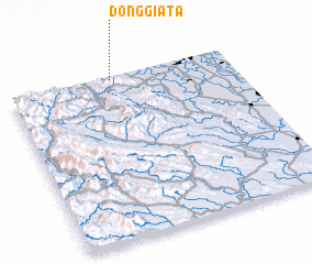 Places with similar names to Ðồng Già Ta, Vietnam ::
Disclaimer :: Information on this page comes without warranty of any kind |
||
|
Where is Ðồng Già Ta? Elevation and coordinates ::
Latitude (lat): 20°59'0"N Longitude (lon): 105°28'0"E
Elevation (approx.): 84m (map arrows pan, magnifying glasses zoom) |
||
|
Visiting Ðồng Già Ta? Hotel/Accommodation ::
Book a hotel in Ðồng Già Ta Travel Guide ::
Buy a travel guide for Vietnam rental cars ::
car rental offers GPS waypoint ::
download a GPX waypoint (PoI) of Ðồng Già Ta for your GPS receiver
|
||