|
search place name
|
||
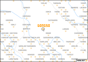
Ðồng Số (Thanh Hóa, Vietnam)Ðồng Số is a town in the Thanh Hóa region of Vietnam. An overview map of the region around Ðồng Số is displayed below.
regional and 3d topo map of Ðồng Số, Vietnam ::
Ðồng Số airports ::
The nearest airport is HAN - Hanoi Noibai Intl, located 106.1 km north of Ðồng Số.
Nearby towns ::
Nỗ Sơn (2.5km south east) //
Lê Cẩm (4.1km south west) //
Sung Hòn Gia (4.1km south east) //
Thạch Lũng (5.1km south west) //
Cúc Phương (5.1km north east) //
Xuân Lũng (5.6km south) //
Nhân Ðề (5.8km south) //
Trại Trác (5.8km south) //
Tư Cương (5.8km south) //
Chòm Mo (6.4km south west) //
Nỗ Sơn (6.4km south east) //
Quảng Tề (7.0km west) //
Yên Ða (7.6km south) //
Xóm Chùng (7.2km west) //
Xóm Bông (7.6km north) //
Xóm Cả (7.6km north) //
Mộc Ðông (7.6km south west) //
Bạc Liêm (7.6km south east) //
Mỹ Ðàm (8.2km south east) //
Ðồng Tân (7.9km south west) //
Thung Bằng (9.1km south west) //
Chòm Thun (9.1km south west) //
Xóm Nhiều (8.9km north west) //
Thôn A (9.1km north east) //
Binh Bút (10.2km south east) //
Thon Sâm (10.2km north east) //
[all distances 'as the bird flies' and approximate] 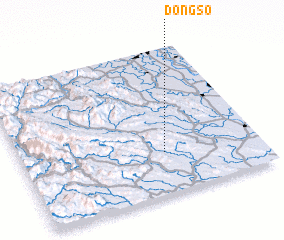 Places with similar names to Ðồng Số, Vietnam ::
Disclaimer :: Information on this page comes without warranty of any kind |
||
|
Where is Ðồng Số? Elevation and coordinates ::
Latitude (lat): 20°17'0"N Longitude (lon): 105°36'0"E
Elevation (approx.): 137m (map arrows pan, magnifying glasses zoom) |
||
|
Visiting Ðồng Số? Hotel/Accommodation ::
Book a hotel in Ðồng Số Travel Guide ::
Buy a travel guide for Vietnam rental cars ::
car rental offers GPS waypoint ::
download a GPX waypoint (PoI) of Ðồng Số for your GPS receiver
|
||