|
search place name
|
||
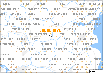
Dương Xuyên (Thái Bình, Vietnam)Dương Xuyên is a town in the Thái Bình region of Vietnam. An overview map of the region around Dương Xuyên is displayed below.
regional and 3d topo map of Dương Xuyên, Vietnam ::
Dương Xuyên airports ::
The nearest airport is HAN - Hanoi Noibai Intl, located 103.1 km north west of Dương Xuyên.
Nearby towns ::
Thuyền Quan (1.7km east) //
Tam Phương (3.5km west) //
Thượng Thôn (3.5km west) //
Phi Liệt (3.7km north) //
Thượng Liệt (3.7km north) //
Ky Nhai (3.5km east) //
Bằng Trạch (4.1km south west) //
Vô Hối (4.1km north east) //
Phật Lộc (3.9km north east) //
Quân Hành (5.6km south) //
Xuân Bảng (5.8km south) //
Ðồng Quan (5.8km north) //
Trực Tầm (5.5km east) //
Ðông Trì (5.5km west) //
Vô Song (6.4km north west) //
Lại Trì (6.6km south west) //
Thượng Hòa (6.6km south east) //
An Lê (6.9km west) //
Ðông Khê (7.4km north) //
Tử Tế (7.6km south) //
Ðồng Kinh (7.2km east) //
Vị Dương (7.2km east) //
Kỳ Trọng (7.6km north west) //
Tân Nghĩa (7.9km south east) //
Hạ Dồng (7.9km north east) //
Duyên Trữ (8.2km north east) //
Ðông Tru (8.9km south west) //
Tam Lạc (8.9km south west) //
Thượng Cầm (9.1km south west) //
[all distances 'as the bird flies' and approximate] 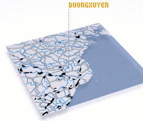 Places with similar names to Dương Xuyên, Vietnam ::
// Ðặng Xuyên (VN)
Disclaimer :: Information on this page comes without warranty of any kind |
||
|
Where is Dương Xuyên? Elevation and coordinates ::
Latitude (lat): 20°30'0"N Longitude (lon): 106°26'0"E
(map arrows pan, magnifying glasses zoom) |
||
|
Visiting Dương Xuyên? Hotel/Accommodation ::
Book a hotel in Dương Xuyên Travel Guide ::
Buy a travel guide for Vietnam rental cars ::
car rental offers GPS waypoint ::
download a GPX waypoint (PoI) of Dương Xuyên for your GPS receiver
|
||