|
search place name
|
||
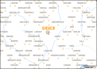
Giều Cả (Vietnam)Giều Cả is a town in Vietnam. An overview map of the region around Giều Cả is displayed below.
regional and 3d topo map of Giều Cả, Vietnam ::
Giều Cả airports ::
The nearest airport is HAN - Hanoi Noibai Intl, located 77.7 km north east of Giều Cả.
Nearby towns ::
Suối Yen (3.7km north) //
Làng Hit (3.5km west) //
Bản Suối Sao (4.1km south west) //
Xóm Mit (3.9km south east) //
Suối Mương (5.1km north west) //
Bản Suối Yen (5.1km north west) //
Xóm Chầm Diều (5.1km north east) //
Làng Bua (1) (5.1km south west) //
Xóm Giuống (2) (5.6km north) //
Xóm Guiong (5.8km north) //
Suối Hoan (5.5km east) //
Làng Bakenn (5.5km west) //
Làng Bua (2) (6.6km south west) //
Xóm Giuống (1) (7.4km north) //
Làng Sam (6.9km west) //
Suối Chầm (6.9km east) //
Làng Linh (7.4km south) //
Xóm Lay (7.6km north) //
Bản Suối Quan (7.6km north west) //
Suối Mết (7.6km south east) //
Quy Ðức (7.9km south west) //
Làng Pheo (10.1km north west) //
Hom Hao (10.1km south west) //
[all distances 'as the bird flies' and approximate] 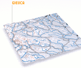 Places with similar names to Giều Cả, Vietnam ::
Disclaimer :: Information on this page comes without warranty of any kind |
||
|
Where is Giều Cả? Elevation and coordinates ::
Latitude (lat): 20°55'0"N Longitude (lon): 105°8'0"E
Elevation (approx.): 524m (map arrows pan, magnifying glasses zoom) |
||
|
Visiting Giều Cả? Hotel/Accommodation ::
Book a hotel in Giều Cả Travel Guide ::
Buy a travel guide for Vietnam rental cars ::
car rental offers GPS waypoint ::
download a GPX waypoint (PoI) of Giều Cả for your GPS receiver
|
||