|
search place name
|
||
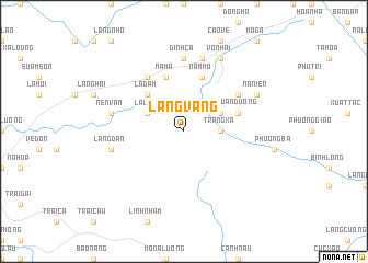
Làng Vang (Bắc Thái, Vietnam)Làng Vang is a town in the Bắc Thái region of Vietnam. An overview map of the region around Làng Vang is displayed below.
regional and 3d topo map of Làng Vang, Vietnam ::
Làng Vang airports ::
The nearest airport is HAN - Hanoi Noibai Intl, located 57.0 km south west of Làng Vang.
Nearby towns ::
Tràng Xá (3.4km east) //
Lâu Hạ (3.9km north west) //
Làng Don (3.9km north east) //
La Ðam (5.1km north west) //
Quan Dương (5.5km east) //
Na Ma (5.8km north) //
Nam Mo (5.8km north) //
Na Hoa (6.5km north west) //
Na Ðong (6.4km north east) //
Ðình Cả (7.4km north) //
Làng Dan (7.1km west) //
Nen Van (7.1km west) //
Làng Lương (7.6km north) //
Võ Nhai (8.2km north east) //
Nà Niên (7.8km north east) //
[all distances 'as the bird flies' and approximate] 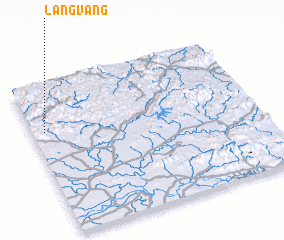 Places with similar names to Làng Vang, Vietnam ::
// Liangfeng (CN)
// Làng Phang (VN)
// Lãng Phong (VN)
// Làng Phung (VN)
// Làng Phương (VN)
// Làng Phương (VN)
// Làng Vướng (VN)
// Làng Vuong (VN)
// Làng Vang (VN)
// Láng Văn Kê (VN)
Disclaimer :: Information on this page comes without warranty of any kind |
||
|
Where is Làng Vang? Elevation and coordinates ::
Latitude (lat): 21°41'0"N Longitude (lon): 106°3'0"E
Elevation (approx.): 85m (map arrows pan, magnifying glasses zoom) |
||
|
Visiting Làng Vang? Hotel/Accommodation ::
Book a hotel in Làng Vang Travel Guide ::
Buy a travel guide for Vietnam rental cars ::
car rental offers GPS waypoint ::
download a GPX waypoint (PoI) of Làng Vang for your GPS receiver
|
||