|
search place name
|
||
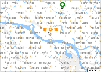
Mai Chầu (Vietnam)Mai Chầu is a town in Vietnam. An overview map of the region around Mai Chầu is displayed below.
regional and 3d topo map of Mai Chầu, Vietnam ::
Mai Chầu airports ::
The nearest airport is HAN - Hanoi Noibai Intl, located 12.3 km north of Mai Chầu.
Nearby towns ::
Hậu Dương (1.9km north) //
Ðại Dô (1.9km south) //
Lũng Ðông (1.7km west) //
Tráng Việt (2.5km north west) //
Phu Yen (3.7km north) //
Yên Nội (3.7km south) //
Cổ Nhue (4.1km north east) //
Kim Nỗ (3.9km north east) //
Thụy Phương (4.1km south east) //
Hạ Trì (3.9km south west) //
Ðông Cao (5.1km north west) //
Hạ Lồi (5.1km north west) //
Thượng Cát (5.1km south west) //
Tây Tựu (5.1km south west) //
Thượng Trì (5.2km west) //
Ngọc Giang (5.2km east) //
Cổ Nhuế Viên (5.6km south) //
Gio Nhan (5.6km north) //
Khu Loc (5.8km south) //
Cao Ðình (5.8km south) //
Phúc Lý (5.8km south) //
Vân Trì (6.4km north east) //
Tang My (6.5km north east) //
Xuân Tao Xã (6.5km south east) //
Hạnh Ðàn (6.4km south west) //
Phu Xa (6.4km south east) //
Thương Hội (6.4km south west) //
Thương Lệ (6.5km north west) //
Gia Thượng (7.6km north) //
[all distances 'as the bird flies' and approximate] 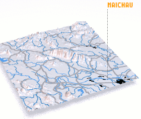 Places with similar names to Mai Chầu, Vietnam ::
Disclaimer :: Information on this page comes without warranty of any kind |
||
|
Where is Mai Chầu? Elevation and coordinates ::
Latitude (lat): 21°7'0"N Longitude (lon): 105°46'0"E
Elevation (approx.): 9m (map arrows pan, magnifying glasses zoom) |
||
|
Visiting Mai Chầu? Hotel/Accommodation ::
Book a hotel in Mai Chầu Travel Guide ::
Buy a travel guide for Vietnam rental cars ::
car rental offers GPS waypoint ::
download a GPX waypoint (PoI) of Mai Chầu for your GPS receiver
|
||