|
search place name
|
||
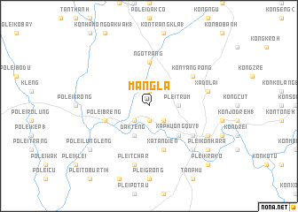
Mang La (Vietnam)Mang La is a town in Vietnam. An overview map of the region around Mang La is displayed below.
regional and 3d topo map of Mang La, Vietnam ::
Mang La airports ::
The nearest airport is DAD - Danang Intl, located 185.7 km north of Mang La.
Nearby towns ::
Kon Tum (1) (1.9km south) //
Plei Konang (1.9km south) //
Dak Rơcot (1.9km north) //
Dak Leck (2.6km south west) //
Kon Hơngo Kotu (2.6km south east) //
Kon Tum (2) (3.6km east) //
Plei Trum (3.6km east) //
Dak Teng (4.1km south west) //
Kon Rơbang (5.2km south east) //
Xã Phường Quy (1) (5.2km south east) //
Ngô Trang (5.6km north) //
Kon Hămong Kơtu (1) (5.6km north) //
Kon Trang Kep (5.6km north) //
Pơlei Breng (5.7km west) //
Plei Djo Drap (5.7km west) //
Xã Tân Ðiến (5.8km south) //
Kon Tum (6.5km south east) //
Kon Yang Rong (6.5km north east) //
Plei Tchar (7.6km south) //
Xã Do Lai (7.4km east) //
Plei Groi (7.7km south east) //
Kon Tum Kơ Pang (8.1km south east) //
Pơlei Lung Lèng (9.1km south west) //
Plei Kon Hara (9.1km south east) //
Plei Krako (10.3km south east) //
[all distances 'as the bird flies' and approximate] 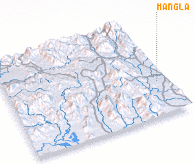 Places with similar names to Mang La, Vietnam ::
// Managale (MM)
// Mangla (MM)
// Mān Ka-lao (MM)
// Mān Kalu (MM)
// Mān Nawkla (MM)
// Maungla (MM)
// Maunglaw (MM)
// Mingala (MM)
// Mingala (MM)
// Möng La (MM)
Disclaimer :: Information on this page comes without warranty of any kind |
||
|
Where is Mang La? Elevation and coordinates ::
Latitude (lat): 14°23'0"N Longitude (lon): 107°57'0"E
Elevation (approx.): 545m (map arrows pan, magnifying glasses zoom) |
||
|
Visiting Mang La? Hotel/Accommodation ::
Book a hotel in Mang La Travel Guide ::
Buy a travel guide for Vietnam rental cars ::
car rental offers GPS waypoint ::
download a GPX waypoint (PoI) of Mang La for your GPS receiver
|
||