|
search place name
|
||
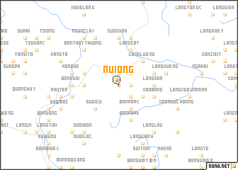
Núi Ong (Vietnam)Núi Ong is a town in Vietnam. An overview map of the region around Núi Ong is displayed below.
regional and 3d topo map of Núi Ong, Vietnam ::
Núi Ong airports ::
The nearest airport is HAN - Hanoi Noibai Intl, located 111.6 km east of Núi Ong.
Nearby towns ::
Mương Lang (0.0km north) //
Bản Ban (2) (1.9km north) //
Làng Mo (1.7km east) //
Bản Enh (2.5km north east) //
Bản Ca (2.5km north east) //
Làng Chiet (2.5km south east) //
Làng Kiem (2.5km south east) //
Bản Pap (2) (4.1km south east) //
Làng Kiem (3.9km south east) //
Bản Ðung (3.9km south east) //
Quang Huy (3.9km south east) //
Suối Cù (5.1km south west) //
Làng Lương (5.1km north east) //
Bản Ban Ngoài (5.2km west) //
Làng San (5.2km east) //
Làng Khey So (5.5km east) //
Bản Oum (5.5km west) //
Làng Trinh (5.5km east) //
Xóm Băng (5.5km east) //
Bản Pap (1) (5.8km south) //
Làng Cây (5.8km north) //
Suối Kinh (7.4km north) //
Bản Puôi (6.9km west) //
Bản Mô (6.9km west) //
Bản Cang (1) (6.9km west) //
Mo Nghe (7.2km west) //
Souô Tao (7.6km north) //
Bản Giao (7.2km west) //
Bản Cú (7.2km west) //
[all distances 'as the bird flies' and approximate] 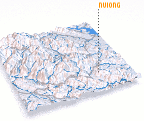 Places with similar names to Núi Ong, Vietnam ::
Disclaimer :: Information on this page comes without warranty of any kind |
||
|
Where is Núi Ong? Elevation and coordinates ::
Latitude (lat): 21°16'0"N Longitude (lon): 104°44'0"E
Elevation (approx.): 828m (map arrows pan, magnifying glasses zoom) |
||
|
Visiting Núi Ong? Hotel/Accommodation ::
Book a hotel in Núi Ong Travel Guide ::
Buy a travel guide for Vietnam rental cars ::
car rental offers GPS waypoint ::
download a GPX waypoint (PoI) of Núi Ong for your GPS receiver
|
||