|
search place name
|
||
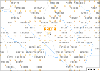
Pác Na (Cao Bằng, Vietnam)Pác Na is a town in the Cao Bằng region of Vietnam. An overview map of the region around Pác Na is displayed below.
regional and 3d topo map of Pác Na, Vietnam ::
Pác Na airports ::
The nearest airport is HAN - Hanoi Noibai Intl, located 168.9 km south west of Pác Na.
Other airports nearby include NNG - Nanning Wuxu (175.4 km east), Nearby towns ::
Bó Nọi (1.7km east) //
Pác Nà Nưa (1.7km east) //
Bó Oat (1.9km north) //
Kem Sá (1.9km south) //
Lũng Thỏ (1.7km west) //
Lảng Luông (2.5km south east) //
Lạc Giển Tẩu (2.5km north west) //
Bản Tin (2.5km south west) //
Lũng Chang (2) (3.4km east) //
Bó Huy (3.4km west) //
Lũng Si (4.1km north east) //
Làng My (3.9km north east) //
Lũng Hôc (3.9km north east) //
Lũng Nà (3.9km south east) //
Lũng Xi (4.1km north west) //
Thum Ðán (4.1km south west) //
Pia Ðeng (4.1km south west) //
Nà Luông (3.9km south west) //
Lũng Cút (5.0km south east) //
Lũng Các (5.0km north west) //
Bản Hoản (5.0km south west) //
Nà Suối (5.1km east) //
Bó Cái (5.6km north) //
Canh Man (5.6km north) //
Bó Luông (5.1km west) //
Nà Cút (5.5km east) //
Tắc Kha (5.8km north) //
Nà Giu (5.5km west) //
Lũng Miầu (5.5km west) //
[all distances 'as the bird flies' and approximate] 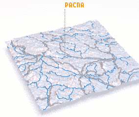 Places with similar names to Pác Na, Vietnam ::
Disclaimer :: Information on this page comes without warranty of any kind |
||
|
Where is Pác Na? Elevation and coordinates ::
Latitude (lat): 22°37'0"N Longitude (lon): 106°28'0"E
Elevation (approx.): 467m (map arrows pan, magnifying glasses zoom) |
||
|
Visiting Pác Na? Hotel/Accommodation ::
Book a hotel in Pác Na Travel Guide ::
Buy a travel guide for Vietnam rental cars ::
car rental offers GPS waypoint ::
download a GPX waypoint (PoI) of Pác Na for your GPS receiver
|
||