|
search place name
|
||
Pak Hom (Quảng Ninh, Vietnam)Pak Hom is a town in the Quảng Ninh region of Vietnam. An overview map of the region around Pak Hom is displayed below.
regional and 3d topo map of Pak Hom, Vietnam ::

Pak Hom airports ::
The nearest airport is NNG - Nanning Wuxu, located 112.9 km north of Pak Hom.
Other airports nearby include HAN - Hanoi Noibai Intl (212.0 km west), Nearby towns ::
Kia Loung (0.0km north) //
Nam Si (3.4km west) //
Tai Moc Cằn (5.1km south east) //
Than Poun (5.2km east) //
Li Houô Téou (5.5km west) //
Thán Vạn (7.6km south) //
Naliang (7.1km east) //
Bắc Phong Sinh (7.8km south west) //
[all distances 'as the bird flies' and approximate] 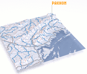 Places with similar names to Pak Hom, Vietnam ::
Disclaimer :: Information on this page comes without warranty of any kind |
||
|
Where is Pak Hom? Elevation and coordinates ::
Latitude (lat): 21°39'0"N Longitude (lon): 107°48'0"E
Elevation (approx.): 52m (map arrows pan, magnifying glasses zoom) |
||
|
Visiting Pak Hom? Hotel/Accommodation ::
Book a hotel in Pak Hom Travel Guide ::
Buy a travel guide for Vietnam rental cars ::
car rental offers GPS waypoint ::
download a GPX waypoint (PoI) of Pak Hom for your GPS receiver
|
||