|
search place name
|
||
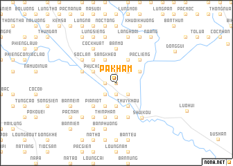
Pa Kham (Cao Bằng, Vietnam)Pa Kham is a town in the Cao Bằng region of Vietnam. An overview map of the region around Pa Kham is displayed below.
regional and 3d topo map of Pa Kham, Vietnam ::
Pa Kham airports ::
The nearest airport is HAN - Hanoi Noibai Intl, located 162.7 km south west of Pa Kham.
Other airports nearby include NNG - Nanning Wuxu (167.2 km east), Nearby towns ::
Bản Nhai (0.0km north) //
Bản Mầu (1.9km north) //
Co Cao (1.9km south) //
Pàc Thọ (1.7km west) //
Bô Chiểnh (1.7km west) //
Cốc Phường (2.5km north east) //
Phia Trì (2.5km south east) //
Na Quan (2.5km south west) //
Loung Nam (2.5km south west) //
Na Sing (3.7km south) //
Cần Phán (3.7km south) //
Pác Bó (3.9km north west) //
Phục Hòa (3.9km north west) //
Bản Mấy (3.9km north east) //
Cốc Lung Ðãu (4.1km north east) //
Bản Chu (4.1km north west) //
Lũng Lầu (4.1km north east) //
Sằng Kheo (4.1km north west) //
Pác Phiet (4.1km south east) //
Thủy Khẩu (4.1km south east) //
Tà Lùng (4.1km south east) //
Na Tham (4.1km south east) //
Bản Luong (4.1km south west) //
Bó Khoang (5.0km north west) //
Pác Liêng (5.0km north east) //
Bản Sát (5.0km north east) //
Kouei Y (5.0km north east) //
Nà Niêng (5.0km north east) //
Pia Niot (5.0km south west) //
[all distances 'as the bird flies' and approximate] 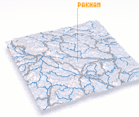 Places with similar names to Pa Kham, Vietnam ::
Disclaimer :: Information on this page comes without warranty of any kind |
||
|
Where is Pa Kham? Elevation and coordinates ::
Latitude (lat): 22°31'0"N Longitude (lon): 106°33'0"E
Elevation (approx.): 171m (map arrows pan, magnifying glasses zoom) |
||
|
Visiting Pa Kham? Hotel/Accommodation ::
Book a hotel in Pa Kham Travel Guide ::
Buy a travel guide for Vietnam rental cars ::
car rental offers GPS waypoint ::
download a GPX waypoint (PoI) of Pa Kham for your GPS receiver
|
||