|
search place name
|
||
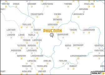
Phúc Ninh (Vietnam)Phúc Ninh is a town in Vietnam. An overview map of the region around Phúc Ninh is displayed below.
regional and 3d topo map of Phúc Ninh, Vietnam ::
Phúc Ninh airports ::
The nearest airport is HAN - Hanoi Noibai Intl, located 103.8 km south east of Phúc Ninh.
Nearby towns ::
Quảng Giáo (3.4km east) //
Ðông Xoum (3.7km north) //
Thọ Sơn (5.5km west) //
Bến Bông (5.8km north) //
Bản Niao (5.8km north) //
Làng Tiao (5.5km west) //
Sơn Ðô (6.4km south east) //
Bô Ðại (6.4km south west) //
Ngòi Lư (6.9km west) //
Cốc Bái (7.6km north) //
Hương Mang (7.1km west) //
Tak Nak (7.1km east) //
Ba Lương (7.8km north west) //
Hùng Gị (1) (7.8km south west) //
Bằc Nhung (9.0km north west) //
Cầu Môt Ðông (9.0km north west) //
Làng Vang (8.8km south west) //
Làng Khê Ham (9.0km south west) //
[all distances 'as the bird flies' and approximate] 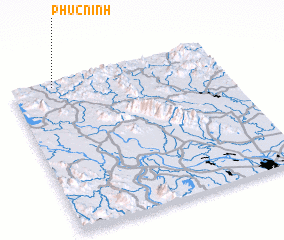 Places with similar names to Phúc Ninh, Vietnam ::
Disclaimer :: Information on this page comes without warranty of any kind |
||
|
Where is Phúc Ninh? Elevation and coordinates ::
Latitude (lat): 21°58'0"N Longitude (lon): 105°12'0"E
Elevation (approx.): 190m (map arrows pan, magnifying glasses zoom) |
||
|
Visiting Phúc Ninh? Hotel/Accommodation ::
Book a hotel in Phúc Ninh Travel Guide ::
Buy a travel guide for Vietnam rental cars ::
car rental offers GPS waypoint ::
download a GPX waypoint (PoI) of Phúc Ninh for your GPS receiver
|
||