|
search place name
|
||
Pia Phang (Cao Bằng, Vietnam)Pia Phang is a town in the Cao Bằng region of Vietnam. An overview map of the region around Pia Phang is displayed below.
regional and 3d topo map of Pia Phang, Vietnam ::

Pia Phang airports ::
The nearest airport is HAN - Hanoi Noibai Intl, located 184.1 km south of Pia Phang.
Nearby towns ::
Loung Kuang (1.9km north) //
Loung Rac (1.7km east) //
Pa Gai (2.5km south west) //
Dong Mu (3.7km north) //
Kouei Ouei (3.9km north west) //
Kouei Yung (5.0km south east) //
Ca Tap (5.4km west) //
Loung Xeo (5.4km east) //
Kouei Xu (5.4km west) //
Nam Que (5.8km south) //
Loung Kuek (5.8km north) //
Loung Pu (5.8km north) //
Pa Khao (6.3km south east) //
Nang Kho (6.3km south east) //
Thong Tien Loung (6.5km south east) //
Bản Giem (6.3km north west) //
Ping Sion (6.8km east) //
Kiao Xa Ping (7.1km east) //
Coc Khoung (7.1km west) //
Loung Rang (7.6km north) //
Lung Mat (7.6km north east) //
Nà Pha (7.6km north west) //
Loung Giac (7.6km south west) //
Kouei Hoang (7.8km north east) //
Pac Loung (8.8km south west) //
Phing Hoang (10.1km north west) //
Bac Re (10.1km north west) //
[all distances 'as the bird flies' and approximate] 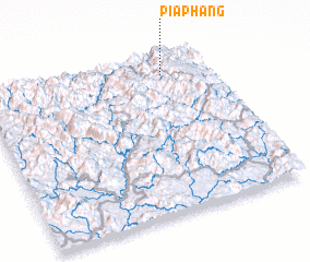 Places with similar names to Pia Phang, Vietnam ::
Disclaimer :: Information on this page comes without warranty of any kind |
||
|
Where is Pia Phang? Elevation and coordinates ::
Latitude (lat): 22°53'0"N Longitude (lon): 105°48'0"E
Elevation (approx.): 1453m (map arrows pan, magnifying glasses zoom) |
||
|
Visiting Pia Phang? Hotel/Accommodation ::
Book a hotel in Pia Phang Travel Guide ::
Buy a travel guide for Vietnam rental cars ::
car rental offers GPS waypoint ::
download a GPX waypoint (PoI) of Pia Phang for your GPS receiver
|
||