|
search place name
|
||
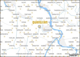
Quang Xán (Vietnam)Quang Xán is a town in Vietnam. An overview map of the region around Quang Xán is displayed below.
regional and 3d topo map of Quang Xán, Vietnam ::
Quang Xán airports ::
The nearest airport is HAN - Hanoi Noibai Intl, located 88.5 km north of Quang Xán.
Nearby towns ::
Nguyễn Xá (1.7km west) //
Ðại Hoàng (1.7km east) //
Lang Xá (2.5km south west) //
Yên Ninh (3.7km north) //
Ðặng Xá (4.1km south west) //
Như Thức (4.1km south east) //
Bỉnh Trung (3.9km north west) //
Vạn Khoảnh (3.9km south east) //
Tảo Môn (3.9km south east) //
Xuân Khê (4.1km north west) //
Tây Trữ (3.9km north east) //
Cao Ðà (4.1km north east) //
Ðộ Viêt (5.1km south west) //
Mỹ Lộc (5.1km south east) //
Thành Th (5.2km west) //
Hữu B (5.2km east) //
Tiên Khoán (5.2km west) //
Xuân Lôi (5.5km west) //
Dam Thanh (5.5km east) //
Vạn Ðồn (5.8km south) //
Nhân Nhuế (6.4km south west) //
Ðồng Mặc (6.4km south east) //
Ðông Quan (6.6km north west) //
Lê Xá (6.6km south west) //
Ngọc Lu (6.4km north west) //
Duong Thuong (6.4km north east) //
Tử Thanh (6.9km west) //
Khê Cầu (7.2km west) //
Yên Ðề (7.2km west) //
[all distances 'as the bird flies' and approximate] 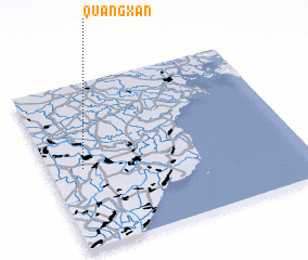 Places with similar names to Quang Xán, Vietnam ::
Disclaimer :: Information on this page comes without warranty of any kind |
||
|
Where is Quang Xán? Elevation and coordinates ::
Latitude (lat): 20°29'0"N Longitude (lon): 106°8'0"E
Elevation (approx.): 6m (map arrows pan, magnifying glasses zoom) |
||
|
Visiting Quang Xán? Hotel/Accommodation ::
Book a hotel in Quang Xán Travel Guide ::
Buy a travel guide for Vietnam rental cars ::
car rental offers GPS waypoint ::
download a GPX waypoint (PoI) of Quang Xán for your GPS receiver
|
||