|
search place name
|
||
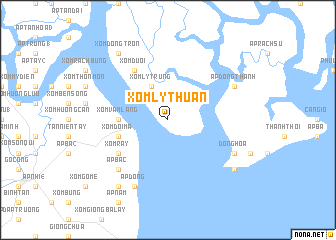
Xóm Lỳ Thuận (Hồ Chí Minh, Vietnam)Xóm Lỳ Thuận is a town in the Hồ Chí Minh region of Vietnam. An overview map of the region around Xóm Lỳ Thuận is displayed below.
regional and 3d topo map of Xóm Lỳ Thuận, Vietnam ::
Xóm Lỳ Thuận airports ::
The nearest airport is SGN - Ho Chi Minh City Tansonnhat Intl, located 48.0 km north of Xóm Lỳ Thuận.
Other airports nearby include PNH - Phnom-penh Phnom Penh Intl (249.2 km north west), Nearby towns ::
Xóm Lý Trung (4.1km north west) //
Xóm Vàm Láng (5.5km west) //
Xóm Ðôi Ma (5.8km west) //
Xóm Rẫy (6.6km south west) //
Xóm Dưới (6.6km north west) //
Ấp Bắc (7.8km south west) //
Ấp Dồng Thành (8.2km north east) //
Ðông Hòa (8.2km south east) //
Ấp Ðông (8.3km south west) //
Xóm Ðồng Tròn (9.2km north west) //
Ấp Hòa Quy (9.2km south east) //
Ấp Hồ Trên (9.2km south west) //
[all distances 'as the bird flies' and approximate] 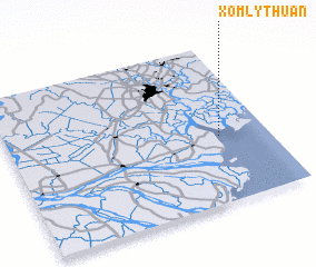 Places with similar names to Xóm Lỳ Thuận, Vietnam ::
// Xóm Lò Than (VN)
Disclaimer :: Information on this page comes without warranty of any kind |
||
|
Where is Xóm Lỳ Thuận? Elevation and coordinates ::
Latitude (lat): 10°25'0"N Longitude (lon): 106°49'0"E
Elevation (approx.): 1m (map arrows pan, magnifying glasses zoom) |
||
|
Visiting Xóm Lỳ Thuận? Hotel/Accommodation ::
Book a hotel in Xóm Lỳ Thuận Travel Guide ::
Buy a travel guide for Vietnam rental cars ::
car rental offers GPS waypoint ::
download a GPX waypoint (PoI) of Xóm Lỳ Thuận for your GPS receiver
|
||