|
search place name
|
||
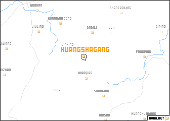
Huangshagang (Hunan, China)Huangshagang is a town in the Hunan region of China. An overview map of the region around Huangshagang is displayed below.
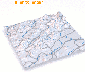
regional and 3d topo map of Huangshagang, China ::
Huangshagang airports ::
The nearest airport is CSX - Changcha Huanghua, located 92.7 km south west of Huangshagang.
Other airports nearby include KHN - Nanchang Changbei Intl (183.4 km east), Nearby towns ::
 Places with similar names to Huangshagang, China ::
// Hung-ch'ai-k'eng (TW)
// Hung-shui-k'eng (TW)
// Hung-shui-k'eng (TW)
// Huang-chu-k'eng (TW)
// Hongshagang (CN)
// Hongshuigang (CN)
// Huangshagang (CN)
// Huangshagang (CN)
// Huangshagang (CN)
// Huangshakeng (CN)
Disclaimer :: Information on this page comes without warranty of any kind |
||
|
Where is Huangshagang? Elevation and coordinates ::
Latitude (lat): 28°35'34"N Longitude (lon): 114°2'55"E
Elevation (approx.): 296m (map arrows pan, magnifying glasses zoom) |
||
|
Visiting Huangshagang? Hotel/Accommodation ::
Book a hotel in Huangshagang Travel Guide ::
Buy a travel guide for China rental cars ::
car rental offers GPS waypoint ::
download a GPX waypoint (PoI) of Huangshagang for your GPS receiver
|
||