|
search place name
|
||
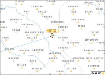
Mingli (Anhui, China)Mingli is a town in the Anhui region of China. An overview map of the region around Mingli is displayed below.
regional and 3d topo map of Mingli, China ::
Mingli airports ::
The nearest airport is CGO - Zhengzhou Xinzheng, located 215.9 km north west of Mingli.
Other airports nearby include HFE - Hefei Luogang (229.2 km south east), Nearby towns ::
Daliuzhuang (3.2km north east) //
Dayuezhai (3.2km east) //
Ruanqiao (4.2km north east) //
Zhaohouzhai (4.9km north) //
Changzhuang (4.7km west) //
Yuanqiang (5.6km south east) //
Wangxinzhai (6.5km south) //
Yuzhuang (6.7km north) //
Songxiaoji (6.8km south west) //
Houlizhai (6.3km west) //
Chenzhuang (6.8km south east) //
Guomiao (8.3km south) //
Wanglou (8.9km north) //
Taoge (10.4km north east) //
[all distances 'as the bird flies' and approximate] 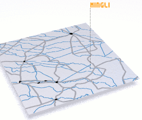 Places with similar names to Mingli, China ::
// Managale (MM)
// Mangla (MM)
// Mān Ka-lao (MM)
// Mān Kalu (MM)
// Mān Nawkla (MM)
// Maungla (MM)
// Maunglaw (MM)
// Mingala (MM)
// Mingala (MM)
// Möng La (MM)
Disclaimer :: Information on this page comes without warranty of any kind |
||
|
Where is Mingli? Elevation and coordinates ::
Latitude (lat): 33°20'30"N Longitude (lon): 115°42'0"E
Elevation (approx.): 36m (map arrows pan, magnifying glasses zoom) |
||
|
Visiting Mingli? Hotel/Accommodation ::
Book a hotel in Mingli Travel Guide ::
Buy a travel guide for China rental cars ::
car rental offers GPS waypoint ::
download a GPX waypoint (PoI) of Mingli for your GPS receiver
|
||