|
search place name
|
||
An Najd (‘Adan, Yemen)An Najd is a town in the ‘Adan region of Yemen. An overview map of the region around An Najd is displayed below.
regional and 3d topo map of An Najd, Yemen ::
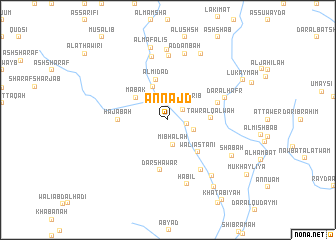
Nearby towns ::
Al ‘Arbadī (1.8km north) //
Khazajah (1.9km north east) //
Yabū‘ (2.1km east) //
Tafih (2.6km north east) //
Al Muqārib (2.6km north east) //
Mibhālah (2.8km south) //
Khudashīyah (3.0km east) //
Al Ghurayq (4.0km north west) //
Ma‘bak (4.3km north west) //
Al Midād (4.7km north) //
Ţawr al Qalwah (4.7km east) //
Walī Astānī (4.8km south east) //
Ḩajabah (5.4km west) //
Dār Shāwar (5.7km south) //
Ţawr Muḩammad (5.7km east) //
Walī ‘Abd ar Raḩīm (6.6km south east) //
Dār al Ḩafr (6.7km east) //
Al Qurayyah (7.2km north) //
Al Jawbah (7.3km north) //
Ḩabīl (7.4km south) //
Al Qubā‘ (7.6km north) //
Ad Danbah (7.6km north) //
Al Harshah (7.8km north) //
Dār ash Sha‘rah (7.8km south east) //
Sha‘bah (8.1km south east) //
Aḑ Ḑawkah (8.2km north east) //
Al Mafālīs (8.3km north) //
Al Usha (9.0km south east) //
Lukaymah (9.3km north east) //
[all distances 'as the bird flies' and approximate] 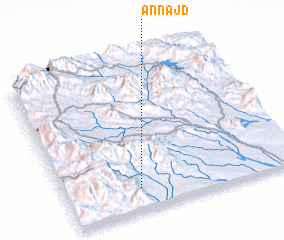 Places with similar names to An Najd, Yemen ::
Disclaimer :: Information on this page comes without warranty of any kind |
||
|
Where is An Najd? Elevation and coordinates ::
Latitude (lat): 13°9'0"N Longitude (lon): 44°19'0"E
Elevation (approx.): 586m (map arrows pan, magnifying glasses zoom) |
||
|
Visiting An Najd? Hotel/Accommodation ::
Book a hotel in An Najd Travel Guide ::
Buy a travel guide for Yemen rental cars ::
car rental offers GPS waypoint ::
download a GPX waypoint (PoI) of An Najd for your GPS receiver
|
||