|
search place name
|
||
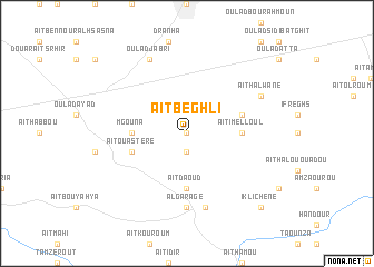
Aït Beghli (Azilal, Morocco)Aït Beghli is a town in the Azilal region of Morocco. An overview map of the region around Aït Beghli is displayed below.
regional and 3d topo map of Aït Beghli, Morocco ::
Aït Beghli airports ::
The nearest airport is OZZ - Ouarzazate, located 139.4 km south of Aït Beghli.
Other airports nearby include RAK - Marrakech Menara (141.7 km south west), CMN - Casablanca Mohammed V Intl (155.6 km north west), RBA - Rabat Sale (207.2 km north), MEK - Meknes Bassatine (218.2 km north east), Nearby towns ::
Aït Berli (0.0km north) //
Tagmout (1.9km south) //
Aït Imelloul (4.7km east) //
MʼGouna (4.7km west) //
Aït Daoud (5.6km south) //
Aït Ou Astere (5.1km west) //
Taourirt (5.1km east) //
Al Garage (7.4km south) //
Aït Attab (7.6km south) //
Oulad Jabri (8.0km north west) //
Aït Halwane (7.3km north east) //
Iklichene (9.7km south east) //
[all distances 'as the bird flies' and approximate] 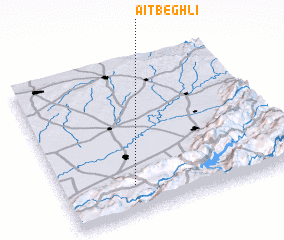
Disclaimer :: Information on this page comes without warranty of any kind |
||
|
Where is Aït Beghli? Elevation and coordinates ::
Latitude (lat): 32°11'0"N Longitude (lon): 6°42'0"W
Elevation (approx.): 740m (map arrows pan, magnifying glasses zoom) |
||
|
Visiting Aït Beghli? Hotel/Accommodation ::
Book a hotel in Aït Beghli Travel Guide ::
Buy a travel guide for Morocco rental cars ::
car rental offers GPS waypoint ::
download a GPX waypoint (PoI) of Aït Beghli for your GPS receiver
|
||