|
search place name
|
||
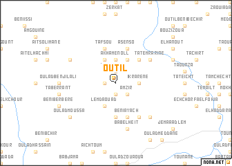
Outil (Al Hoceïma, Morocco)Outil is a town in the Al Hoceïma region of Morocco. An overview map of the region around Outil is displayed below.
regional and 3d topo map of Outil, Morocco ::
Outil airports ::
The nearest airport is AHU - Al Hociema Cherif El Idrissi, located 73.2 km north east of Outil.
Other airports nearby include FEZ - Fez Saiss (102.5 km south west), TTU - Tetouan Saniat Rmel (125.1 km north west), MEK - Meknes Bassatine (137.5 km south west), MLN - Melilla (147.8 km north east), Nearby towns ::
Alouane (1.9km south) //
Khendek es Slia (1.5km west) //
Tiberranine (1.9km north) //
Amzir (2.4km south east) //
Ikrarene (3.0km east) //
Akhamenoll (3.7km north) //
Tagzirt (3.7km north) //
Lemdaouad (4.0km south) //
Tahardant (4.0km north) //
Mazouz (4.0km north) //
Admam (4.0km north) //
Azarhar (4.0km north) //
Imachchrene (4.0km north) //
Thamgandest (4.8km north east) //
Tembouzid (5.6km south) //
Beni Ayach (5.8km south) //
Asenso (5.8km north) //
Tafsou (5.8km north) //
Laïoun (6.3km south east) //
Tafournouth (5.9km north east) //
Tatemrarine (5.9km north east) //
Bab el Heït (7.6km south) //
Mechcherouane (7.2km south east) //
Oulad Sidi Feddoul (7.1km north west) //
Oulad Moussa (8.2km south west) //
[all distances 'as the bird flies' and approximate] 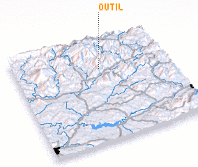 Places with similar names to Outil, Morocco ::
Disclaimer :: Information on this page comes without warranty of any kind |
||
|
Where is Outil? Elevation and coordinates ::
Latitude (lat): 34°44'0"N Longitude (lon): 4°26'0"W
Elevation (approx.): 1016m (map arrows pan, magnifying glasses zoom) |
||
|
Visiting Outil? Hotel/Accommodation ::
Book a hotel in Outil Travel Guide ::
Buy a travel guide for Morocco rental cars ::
car rental offers GPS waypoint ::
download a GPX waypoint (PoI) of Outil for your GPS receiver
|
||