|
search place name
|
||
Apitong (Mindoro Oriental, Philippines)Apitong is a town in the Mindoro Oriental region of Philippines. An overview map of the region around Apitong is displayed below.
regional and 3d topo map of Apitong, Philippines ::

Apitong airports ::
The nearest airport is MNL - Manila Ninoy Aquino Intl, located 141.7 km north of Apitong.
Other airports nearby include KLO - Kalibo (215.8 km south east), Nearby towns ::
Inarawan (3.0km north west) //
Tagali (4.5km north west) //
Goob (4.9km west) //
Comunal (4.9km west) //
Balanacan (5.3km east) //
Bani (5.6km south) //
Goob (5.6km north west) //
Bolbog (5.7km east) //
Mag-Asawang-Tubig (6.4km north east) //
Palbuticaan (6.5km north east) //
Barcanaga (6.6km north east) //
Garis (6.6km north east) //
Aurora (6.5km west) //
Bucayao (7.0km north) //
Budlungan (7.8km west) //
Matandang Naujan (8.0km north east) //
Macasile (8.0km north east) //
Managpi (8.5km north) //
Natulo (8.7km north) //
Biga (8.7km north) //
Macaucang (8.8km north west) //
Gamao (10.4km north east) //
Dulangan (10.7km north west) //
Kalauang (11.2km north west) //
Bayudbod (11.5km north east) //
[all distances 'as the bird flies' and approximate] 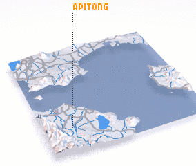 Places with similar names to Apitong, Philippines ::
// Apitong (PH)
// Ấp Ðồng Gi (VN)
// Ấp Ðịnh Hòa (2) (VN)
// Ấp Ðông (VN)
// Ấp Ðông (VN)
// Ấp Ðông (VN)
// Ấp Ðông (VN)
// Ấp Phú Ðiền (2) (VN)
// Ấp Phủ Ðường (VN)
// Ấp Phú Tịnh (2) (VN)
Disclaimer :: Information on this page comes without warranty of any kind |
||
|
Where is Apitong? Elevation and coordinates ::
Latitude (lat): 13°14'17"N Longitude (lon): 121°10'55"E
Elevation (approx.): 29m (map arrows pan, magnifying glasses zoom) |
||
|
Visiting Apitong? Hotel/Accommodation ::
Book a hotel in Apitong Travel Guide ::
Buy a travel guide for Philippines rental cars ::
car rental offers GPS waypoint ::
download a GPX waypoint (PoI) of Apitong for your GPS receiver
|
||