|
search place name
|
||
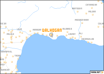
Dalhogan (Camarines Sur, Philippines)Dalhogan is a town in the Camarines Sur region of Philippines. An overview map of the region around Dalhogan is displayed below.
regional and 3d topo map of Dalhogan, Philippines ::
Nearby towns ::
Maagnas (1.8km east) //
May-Iba (1.9km north) //
Panicuan (2.0km west) //
Omalo (3.5km west) //
Adiagñao (5.1km east) //
Panagan (5.2km west) //
Malobago (5.7km east) //
Ayagao (5.7km east) //
Lamon (5.7km east) //
San Sebastian (6.3km west) //
Lagha (6.4km east) //
Lagnay (7.2km east) //
Sabang (7.5km west) //
Manamoc (7.9km west) //
Cagnipa (8.1km east) //
[all distances 'as the bird flies' and approximate]  Places with similar names to Dalhogan, Philippines ::
Disclaimer :: Information on this page comes without warranty of any kind |
||
|
Where is Dalhogan? Elevation and coordinates ::
Latitude (lat): 13°43'0"N Longitude (lon): 123°39'0"E
Elevation (approx.): 143m (map arrows pan, magnifying glasses zoom) |
||
|
Visiting Dalhogan? Hotel/Accommodation ::
Book a hotel in Dalhogan Travel Guide ::
Buy a travel guide for Philippines rental cars ::
car rental offers GPS waypoint ::
download a GPX waypoint (PoI) of Dalhogan for your GPS receiver
|
||