|
search place name
|
||
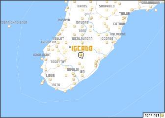
Igcado (Antique, Philippines)Igcado is a town in the Antique region of Philippines. An overview map of the region around Igcado is displayed below.
regional and 3d topo map of Igcado, Philippines ::
Igcado airports ::
The nearest airport is SJI - San Jose Antique, located 32.1 km north of Igcado.
Other airports nearby include ILO - Iloilo (64.9 km north east), BCD - Bacolod (103.3 km east), KLO - Kalibo (138.5 km north), DGT - Dumaguete (191.1 km south east), Nearby towns ::
Nasuli (1.3km south west) //
Samalague (1.9km south) //
Igbalogo (1.9km north) //
Nasuli (2.6km north west) //
Igcasiad (2.6km north west) //
Sinogbuhan (3.1km east) //
San Martin (3.2km east) //
San Francisco (3.3km south east) //
Talos (3.6km east) //
Gaman (3.6km west) //
Danauan (3.6km west) //
Iba (3.7km south) //
Igcalauagan (3.7km north) //
Igpalgi (3.9km south west) //
Ginarogan (4.1km south west) //
Caononan (4.1km north east) //
Igbalansag (4.1km north west) //
Bucaobucao (4.1km north west) //
Ouanan (4.1km north west) //
Bariri (4.1km south west) //
Abaca (4.4km west) //
Casay (5.0km south west) //
Lawigan (5.0km east) //
Barasanan (5.1km north west) //
Igtumaron (5.2km south west) //
Opsan (5.2km north west) //
Igbancal (5.5km west) //
Tene (5.6km north) //
Nagsubuan (5.6km north) //
[all distances 'as the bird flies' and approximate] 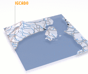 Places with similar names to Igcado, Philippines ::
Disclaimer :: Information on this page comes without warranty of any kind |
||
|
Where is Igcado? Elevation and coordinates ::
Latitude (lat): 10°29'0"N Longitude (lon): 122°0'0"E
Elevation (approx.): 124m (map arrows pan, magnifying glasses zoom) |
||
|
Visiting Igcado? Hotel/Accommodation ::
Book a hotel in Igcado Travel Guide ::
Buy a travel guide for Philippines rental cars ::
car rental offers GPS waypoint ::
download a GPX waypoint (PoI) of Igcado for your GPS receiver
|
||