|
search place name
|
||
Dennington (Victoria, Australia)Dennington is a town in the Victoria region of Australia. An overview map of the region around Dennington is displayed below.
regional and 3d topo map of Dennington, Australia ::

Nearby towns ::
Warrnambool (3.4km south east) //
Illowa (4.7km north west) //
Woodford (5.7km north) //
Yangery (6.3km north west) //
Mailors Flat (7.6km north) //
Yarpturk (7.6km north) //
Bushfield (6.9km north east) //
Southern Cross (8.6km north west) //
[all distances 'as the bird flies' and approximate] 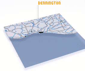 Places with similar names to Dennington, Australia ::
// Dunnington (US)
// Dunnington (US)
// Donnington (ZA)
// Downingtown (US)
// Dunningtown (US)
// Donnington (ZW)
// Donnington (GB)
// Donghuangdian (CN)
// Dennington (GB)
// Dennington (GB)
Disclaimer :: Information on this page comes without warranty of any kind |
||
|
Where is Dennington? Elevation and coordinates ::
Latitude (lat): 38°22'0"S Longitude (lon): 142°27'0"E
Elevation (approx.): 24m (map arrows pan, magnifying glasses zoom) |
||
|
Visiting Dennington? Hotel/Accommodation ::
Book a hotel in Dennington Travel Guide ::
Buy a travel guide for Australia rental cars ::
car rental offers GPS waypoint ::
download a GPX waypoint (PoI) of Dennington for your GPS receiver
|
||