|
search place name
|
||
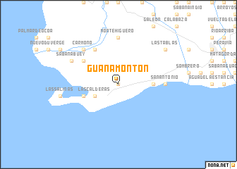
Guanamonton (Peravia, Dominican Republic)Guanamonton is a town in the Peravia region of Dominican Republic. An overview map of the region around Guanamonton is displayed below.
regional and 3d topo map of Guanamonton, Dominican Republic ::
Guanamonton airports ::
The nearest airport is BRX - Barahona Maria Montez Intl, located 69.2 km west of Guanamonton.
Other airports nearby include SDQ - Santo Domingo Las Americas Intl (87.1 km east), STI - Santiago Cibao Intl (130.6 km north), LRM - La Romana Casa De Campo Intl (166.1 km east), POP - Puerto Plata Gregorio Luperon Intl (169.1 km north), Nearby towns ::
Arroyo Hondo (0.0km north) //
Las Calderas (4.0km south west) //
Matanzas (5.3km east) //
Las Calderas (5.6km west) //
Fundación de Sabana Buey (6.6km north west) //
La Laguna (6.5km north west) //
San Antonio (7.0km east) //
Monte Conuco (7.4km north) //
Monte Higüero (7.4km north) //
Carmono (7.7km north west) //
Palmarito (8.0km north west) //
Sabana Buey (8.0km north west) //
Las Tablas (9.0km north east) //
[all distances 'as the bird flies' and approximate] 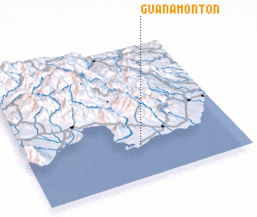 Places with similar names to Guanamonton, Dominican Republic ::
// Keen Mountain (US)
Disclaimer :: Information on this page comes without warranty of any kind |
||
|
Where is Guanamonton? Elevation and coordinates ::
Latitude (lat): 18°14'0"N Longitude (lon): 70°28'0"W
Elevation (approx.): 31m (map arrows pan, magnifying glasses zoom) |
||
|
Visiting Guanamonton? Hotel/Accommodation ::
Book a hotel in Guanamonton Travel Guide ::
rental cars ::
car rental offers GPS waypoint ::
download a GPX waypoint (PoI) of Guanamonton for your GPS receiver
|
||