|
search place name
|
||
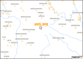
Wān La-pa (Shan, Myanmar)Wān La-pa is a town in the Shan region of Myanmar. An overview map of the region around Wān La-pa is displayed below.
regional and 3d topo map of Wān La-pa, Myanmar ::
Wān La-pa airports ::
The nearest airport is MOG - Mong Hsat, located 25.3 km north west of Wān La-pa.
Other airports nearby include THL - Tachilek Tachileik (52.3 km east), KET - Kengtung (104.3 km north), Nearby towns ::
Wān Hkē (5.2km north) //
Wān Hsinka-hsao (5.5km west) //
Wān Hkè (6.7km north) //
Wān Münkiao (6.8km north east) //
Wān Hsinhkek (7.6km north west) //
Wān Pa-pe (8.3km south west) //
Wān Hsinhkek (8.1km north west) //
Pānghkö-hkawt (8.8km north) //
Ban Cha Re Tu Bo (8.6km south east) //
Wān Ew-oi (9.2km south west) //
Wān Makhūnglōng (9.4km north east) //
Wān Loi-hkū (9.6km north east) //
Wān Hsinpawmöng (9.8km south west) //
Wān Pa-niu (10.1km north east) //
Wān Yanghā (10.3km north east) //
Wān Ha-hsu-kang (11.6km north west) //
[all distances 'as the bird flies' and approximate]  Places with similar names to Wān La-pa, Myanmar ::
// Wonolopo (ID)
// Wān Loi-hpaw (MM)
// Wān La-hpē (MM)
// Wān La-pa (MM)
// Wān Loi-pao (MM)
// Wān Loi-paw (MM)
// Wān Loi-pū (MM)
// Wān Lu-pè (MM)
Disclaimer :: Information on this page comes without warranty of any kind |
||
|
Where is Wān La-pa? Elevation and coordinates ::
Latitude (lat): 20°22'35"N Longitude (lon): 99°26'52"E
Elevation (approx.): 1401m (map arrows pan, magnifying glasses zoom) |
||
|
Visiting Wān La-pa? Hotel/Accommodation ::
Book a hotel in Wān La-pa Travel Guide ::
Buy a travel guide for Myanmar rental cars ::
car rental offers GPS waypoint ::
download a GPX waypoint (PoI) of Wān La-pa for your GPS receiver
|
||