|
search place name
|
||
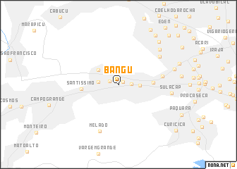
Bangu (Rio de Janeiro, Brazil)Bangu is a town in the Rio de Janeiro region of Brazil. An overview map of the region around Bangu is displayed below.
regional and 3d topo map of Bangu, Brazil ::
Bangu airports ::
The nearest airport is GIG - Rio De Janeiro Galeao Antonio Carlos Jobim, located 23.8 km east of Bangu.
Other airports nearby include STU - Rio De Janeiro Santa Cruz (26.9 km west), SDU - Rio De Janeiro Santos Dumont (31.0 km east), JDF - Juiz De Fora Francisco De Assis (120.5 km north), Nearby towns ::
Guilherme da Silveira (0.8km north east) //
Vila Alianca (1.5km west) //
Padre Miguel (1.8km east) //
Senador Camará (3.0km west) //
Realengo (3.1km east) //
Vila Kennedy (3.8km north west) //
Magalhães Bastos (5.0km east) //
Santíssimo (5.5km west) //
Vila Militar (6.4km east) //
Ricardo de Albuquerque (7.4km north east) //
Melado (7.9km south) //
Sulacap (7.8km east) //
Anchieta (8.1km north east) //
Deodoro (8.4km east) //
Olinda (8.9km north east) //
Nilópolis (9.4km north east) //
Edson Passos (9.8km north east) //
Tomazinho (10.6km north east) //
[all distances 'as the bird flies' and approximate] 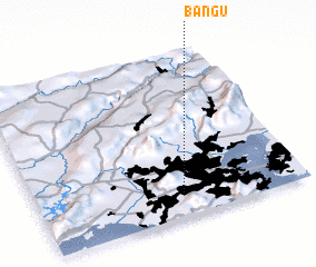 Places with similar names to Bangu, Brazil ::
Disclaimer :: Information on this page comes without warranty of any kind |
||
|
Where is Bangu? Elevation and coordinates ::
Latitude (lat): 22°52'37"S Longitude (lon): 43°27'48"W
Elevation (approx.): 47m (map arrows pan, magnifying glasses zoom) |
||
|
Visiting Bangu? Hotel/Accommodation ::
Book a hotel in Bangu Travel Guide ::
Buy a travel guide for Brazil rental cars ::
car rental offers GPS waypoint ::
download a GPX waypoint (PoI) of Bangu for your GPS receiver
|
||