|
search place name
|
||
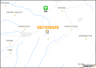
Noite Negra (São Paulo, Brazil)Noite Negra is a town in the São Paulo region of Brazil. An overview map of the region around Noite Negra is displayed below.
regional and 3d topo map of Noite Negra, Brazil ::
Noite Negra airports ::
The nearest airport is PPB - President Prudente Presidente Prudente, located 10.2 km north of Noite Negra.
Other airports nearby include LDB - Londrina (121.8 km south), MGF - Regional De Maringa Silvio Name Junior (147.4 km south west), ARU - Aracatuba (161.4 km north east), LIP - Lins (186.5 km east), Nearby towns ::
Anhumas (1.9km south) //
[all distances 'as the bird flies' and approximate] 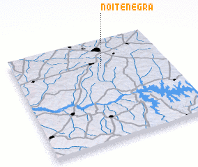 Places with similar names to Noite Negra, Brazil ::
// Naydongri (IN)
// Neyyāttinkara (IN)
// Ntankro (GH)
// Ntinkra (GH)
// Ndangar (SN)
// Ndinkoro (ML)
// Newtown Gore (IE)
// Ndénoukro (CI)
Disclaimer :: Information on this page comes without warranty of any kind |
||
|
Where is Noite Negra? Elevation and coordinates ::
Latitude (lat): 22°16'0"S Longitude (lon): 51°25'0"W
Elevation (approx.): 469m (map arrows pan, magnifying glasses zoom) |
||
|
Visiting Noite Negra? Hotel/Accommodation ::
Book a hotel in Noite Negra Travel Guide ::
Buy a travel guide for Brazil rental cars ::
car rental offers GPS waypoint ::
download a GPX waypoint (PoI) of Noite Negra for your GPS receiver
|
||