|
search place name
|
||
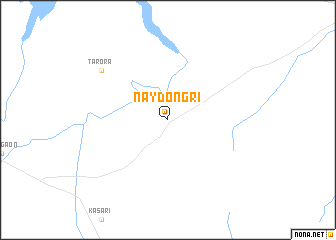
Naydongri (Mahārāshtra, India)Naydongri is a town in the Mahārāshtra region of India. An overview map of the region around Naydongri is displayed below.
regional and 3d topo map of Naydongri, India ::
Naydongri airports ::
The nearest airport is IXU - Aurangabad, located 81.3 km south east of Naydongri.
Other airports nearby include ISK - Nasik Road (113.8 km west), NMB - Daman (206.2 km west), PNQ - Pune (217.2 km south west), BOM - Bombay Chhatrapati Shivaji Intl (247.4 km south west), Nearby towns ::
Tarora (8.9km north west) //
[all distances 'as the bird flies' and approximate] 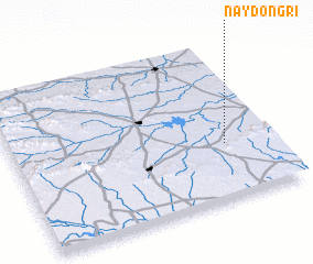 Places with similar names to Naydongri, India ::
// Neyyāttinkara (IN)
// Ntankro (GH)
// Ntinkra (GH)
// Ndangar (SN)
// Ndinkoro (ML)
// Newtown Gore (IE)
// Noite Negra (BR)
// Ndénoukro (CI)
Disclaimer :: Information on this page comes without warranty of any kind |
||
|
Where is Naydongri? Elevation and coordinates ::
Latitude (lat): 20°21'0"N Longitude (lon): 74°49'0"E
Elevation (approx.): 426m (map arrows pan, magnifying glasses zoom) |
||
|
Visiting Naydongri? Hotel/Accommodation ::
Book a hotel in Naydongri Travel Guide ::
Buy a travel guide for India rental cars ::
car rental offers GPS waypoint ::
download a GPX waypoint (PoI) of Naydongri for your GPS receiver
|
||