|
search place name
|
||
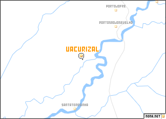
Uacurizal (Mato Grosso, Brazil)Uacurizal is a town in the Mato Grosso region of Brazil. An overview map of the region around Uacurizal is displayed below.
regional and 3d topo map of Uacurizal, Brazil ::
Uacurizal airports ::
The nearest airport is CMG - Corumba Intl, located 194.4 km south west of Uacurizal.
Other airports nearby include PSZ - Puerto Suarez Tte De Av Salvador Ogaya G (198.3 km south west), CGB - Cuiaba Marechal Rondon (212.7 km north), Nearby towns ::
Pôrto São José Velho (10.2km north east) //
[all distances 'as the bird flies' and approximate] 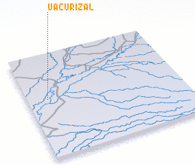
Disclaimer :: Information on this page comes without warranty of any kind |
||
|
Where is Uacurizal? Elevation and coordinates ::
Latitude (lat): 17°26'0"S Longitude (lon): 56°52'0"W
Elevation (approx.): 117m (map arrows pan, magnifying glasses zoom) |
||
|
Visiting Uacurizal? Hotel/Accommodation ::
Book a hotel in Uacurizal Travel Guide ::
Buy a travel guide for Brazil rental cars ::
car rental offers GPS waypoint ::
download a GPX waypoint (PoI) of Uacurizal for your GPS receiver
|
||