|
search place name
|
||
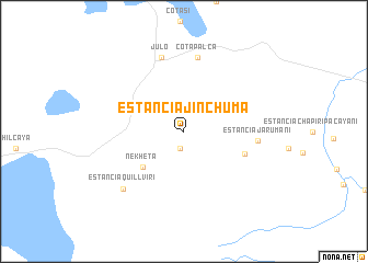
Estancia Jinchuma (Oruro, Bolivia)Estancia Jinchuma is a town in the Oruro region of Bolivia. An overview map of the region around Estancia Jinchuma is displayed below.
regional and 3d topo map of Estancia Jinchuma, Bolivia ::
Estancia Jinchuma airports ::
The nearest airport is ARI - Arica Chacalluta, located 162.6 km west of Estancia Jinchuma.
Other airports nearby include TCQ - Tacna Coronel Carlos Ciriani Santa Rosa Intl (168.9 km north west), IQQ - Iquique Diego Aracena Intl (239.6 km south west), Nearby towns ::
Chapi (1.8km south) //
Nekheta (5.3km south west) //
Estancia Viluyo (6.3km east) //
Estancia Jarumani (7.2km east) //
Cotapalca (7.7km north) //
Chinchillani (7.8km north) //
Julo (7.8km north) //
Estancia Quillviri (8.3km south west) //
[all distances 'as the bird flies' and approximate] 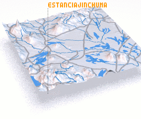 Places with similar names to Estancia Jinchuma, Bolivia :: Disclaimer :: Information on this page comes without warranty of any kind |
||
|
Where is Estancia Jinchuma? Elevation and coordinates ::
Latitude (lat): 18°46'4"S Longitude (lon): 68°51'46"W
Elevation (approx.): 4268m (map arrows pan, magnifying glasses zoom) |
||
|
Visiting Estancia Jinchuma? Hotel/Accommodation ::
Book a hotel in Estancia Jinchuma Travel Guide ::
Buy a travel guide for Bolivia rental cars ::
car rental offers GPS waypoint ::
download a GPX waypoint (PoI) of Estancia Jinchuma for your GPS receiver
|
||