|
search place name
|
||
Nekheta (Oruro, Bolivia)Nekheta is a town in the Oruro region of Bolivia. An overview map of the region around Nekheta is displayed below.
regional and 3d topo map of Nekheta, Bolivia ::

Nekheta airports ::
The nearest airport is ARI - Arica Chacalluta, located 159.9 km west of Nekheta.
Other airports nearby include TCQ - Tacna Coronel Carlos Ciriani Santa Rosa Intl (167.2 km north west), IQQ - Iquique Diego Aracena Intl (234.4 km south west), Nearby towns ::
Estancia Quillviri (3.0km south west) //
Chapi (4.0km north east) //
Estancia Jinchuma (5.3km north east) //
[all distances 'as the bird flies' and approximate] 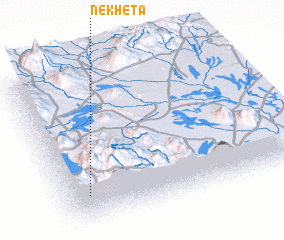 Places with similar names to Nekheta, Bolivia ::
// Nakhada (RU)
// Nakhod (RU)
// Nakhody (RU)
// Naikhutti (BD)
// Naggo Head (JM)
// Nà Khuất (VN)
// Na Kohoutě (CZ)
// Nakahodo (JP)
// Naka-hata (JP)
// Nakhidi (GE)
Disclaimer :: Information on this page comes without warranty of any kind |
||
|
Where is Nekheta? Elevation and coordinates ::
Latitude (lat): 18°48'0"S Longitude (lon): 68°54'0"W
Elevation (approx.): 4713m (map arrows pan, magnifying glasses zoom) |
||
|
Visiting Nekheta? Hotel/Accommodation ::
Book a hotel in Nekheta Travel Guide ::
Buy a travel guide for Bolivia rental cars ::
car rental offers GPS waypoint ::
download a GPX waypoint (PoI) of Nekheta for your GPS receiver
|
||