|
search place name
|
||
Elotkos (Cameroon)Elotkos is a town in Cameroon. An overview map of the region around Elotkos is displayed below.
regional and 3d topo map of Elotkos, Cameroon ::

Elotkos airports ::
The nearest airport is YAO - Yaounde Ville, located 37.2 km south east of Elotkos.
Other airports nearby include FOM - Foumban Nkounja (179.8 km north), DLA - Douala (183.4 km west), BFX - Bafoussam (191.6 km north west), BPC - Bamenda (251.9 km north west), Nearby towns ::
Elig (1.9km north) //
Nkolobang I (2.6km north east) //
Mbélékié (3.7km south) //
Mfomo (4.1km north east) //
Ébanga (4.1km south west) //
Konabing (5.2km south west) //
Indama (5.2km north east) //
Ndanging (5.2km south west) //
Nkolobang II (5.6km north) //
Ngong (5.9km south) //
Bikogo (5.8km west) //
Mébomo (6.7km north west) //
Lékié (7.4km north) //
Abono (7.6km east) //
Lindom II (7.6km south) //
Ébougsi (7.6km west) //
Nkingé (7.6km west) //
Louma (8.3km south east) //
Ebabsi (8.3km south west) //
Yémésoa (8.3km north east) //
Nkolmba (8.3km north west) //
Song Onana (9.3km south west) //
Mva (9.3km south west) //
Oyama (9.3km south east) //
Mvoua (10.5km south east) //
Kokodo (10.5km north west) //
[all distances 'as the bird flies' and approximate] 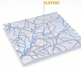 Places with similar names to Elotkos, Cameroon ::
// El Tocúz (MX)
Disclaimer :: Information on this page comes without warranty of any kind |
||
|
Where is Elotkos? Elevation and coordinates ::
Latitude (lat): 4°8'0"N Longitude (lon): 11°22'0"E
Elevation (approx.): 590m (map arrows pan, magnifying glasses zoom) |
||
|
Visiting Elotkos? Hotel/Accommodation ::
Book a hotel in Elotkos Travel Guide ::
Buy a travel guide for Cameroon rental cars ::
car rental offers GPS waypoint ::
download a GPX waypoint (PoI) of Elotkos for your GPS receiver
|
||