|
search place name
|
||
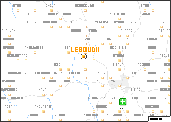
Leboudi I (Cameroon)Leboudi I is a town in Cameroon. An overview map of the region around Leboudi I is displayed below.
regional and 3d topo map of Leboudi I, Cameroon ::
Leboudi I airports ::
The nearest airport is YAO - Yaounde Ville, located 12.1 km south east of Leboudi I.
Other airports nearby include DLA - Douala (192.4 km west), BMM - Bitam (203.6 km south), FOM - Foumban Nkounja (205.4 km north), BFX - Bafoussam (216.5 km north west), Nearby towns ::
Ekong (1.9km north) //
Leboudi II (1.9km south) //
Ngoya II (1.8km east) //
Ngoya I (3.7km north) //
Nkolbison (3.7km south) //
Metak (4.1km north west) //
Etoud (4.1km south west) //
Nkolesong (5.2km north east) //
Ozom Nkolafémé (5.2km south west) //
Mesa (5.2km south east) //
Nkong (5.6km north) //
Ozom III (5.8km west) //
Nouma (5.9km north) //
Ebod (5.9km north) //
Melen (6.7km south east) //
Nkolondom (6.7km north east) //
Mokolo (6.7km south east) //
Nkolnyada (7.4km north) //
Etoudi (7.4km east) //
Emana (7.4km east) //
Obak (7.6km north) //
Ekombitié (7.6km east) //
Okolo (7.6km east) //
Nyom I (7.6km east) //
Mbala (7.6km east) //
Nkolkoumou (7.9km south west) //
Lébot (8.3km north west) //
Yégéasi (8.3km north east) //
Eyang (8.3km south west) //
[all distances 'as the bird flies' and approximate] 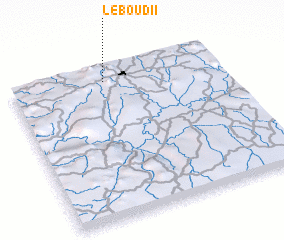 Places with similar names to Leboudi I, Cameroon ::
Disclaimer :: Information on this page comes without warranty of any kind |
||
|
Where is Leboudi I? Elevation and coordinates ::
Latitude (lat): 3°55'0"N Longitude (lon): 11°27'0"E
Elevation (approx.): 760m (map arrows pan, magnifying glasses zoom) |
||
|
Visiting Leboudi I? Hotel/Accommodation ::
Book a hotel in Leboudi I Travel Guide ::
Buy a travel guide for Cameroon rental cars ::
car rental offers GPS waypoint ::
download a GPX waypoint (PoI) of Leboudi I for your GPS receiver
|
||