|
search place name
|
||
Bedēsa (Ethiopia)Bedēsa is a town in Ethiopia. An overview map of the region around Bedēsa is displayed below.
regional and 3d topo map of Bedēsa, Ethiopia ::

Bedēsa airports ::
The nearest airport is ADD - Addis Ababa Bole Intl, located 57.1 km south of Bedēsa.
Other airports nearby include JIM - Jimma (282.2 km south west), Nearby towns ::
Gumbīchu (1.9km north) //
Welkʼī (2.6km north east) //
Hāro (2.6km south east) //
Jemeda (3.7km east) //
Wegīdī (3.7km east) //
Kotīcha (4.1km north east) //
Derba (4.1km south east) //
Jemeda (4.1km south east) //
Sekʼa Was (5.2km north east) //
Chʼefē Āba Gowē (5.2km south east) //
Mutʼē (5.5km west) //
Goro (5.8km west) //
Bekeno (5.9km south) //
Ābalē (5.8km east) //
Kara (5.8km east) //
Bīlo (5.8km east) //
Gulolē (6.7km south east) //
Deyu (6.7km south east) //
Tulu Lemī (6.6km south east) //
Gulelē (6.6km south east) //
Kʼerīyo (7.6km south) //
Tam (7.5km east) //
Mererē (7.8km north west) //
Gībē (8.3km north west) //
Gara Āba Īya (8.3km south east) //
Kʼīltʼu (8.3km south east) //
Bechʼekʼī (8.3km south east) //
Dayē (8.2km south east) //
Mētʼī (8.2km south east) //
[all distances 'as the bird flies' and approximate] 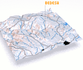 Places with similar names to Bedēsa, Ethiopia ::
Disclaimer :: Information on this page comes without warranty of any kind |
||
|
Where is Bedēsa? Elevation and coordinates ::
Latitude (lat): 9°28'0"N Longitude (lon): 38°38'0"E
Elevation (approx.): 1729m (map arrows pan, magnifying glasses zoom) |
||
|
Visiting Bedēsa? Hotel/Accommodation ::
Book a hotel in Bedēsa Travel Guide ::
Buy a travel guide for Ethiopia rental cars ::
car rental offers GPS waypoint ::
download a GPX waypoint (PoI) of Bedēsa for your GPS receiver
|
||